Your China & Yunnan Travel Experts

 Ask a Question
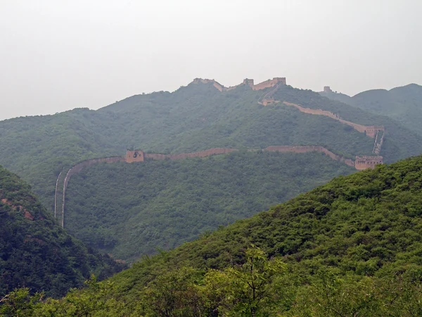
Why the landscape matters Wohushan offers broad views across Gubeikou's basin, passes and opposing ridges. The same terrain that made it strategically valuable also makes walking difficult: collapsed masonry, vegetation, loose stone and sharp gradients can hide unstable edges. Conditions are especially poor after rain, snow or freeze–thaw cycles. Use the Great Wall seasonal guide to judge weather, but remember that good weather does not make a closed section open.
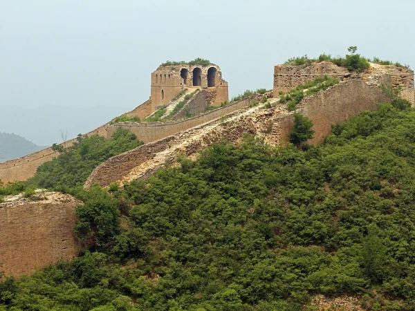
The mountain corridor lies between Beijing and Chengde . Road proximity can create a false impression of easy access. Public paths, village approaches and the protected wall are not interchangeable, and mobile coverage may weaken away from the basin. Arrange a legal entry and return point rather than asking a driver to stop at an unverified trail. The separate Beijing–Jinshanling transport guide is useful if your priority is a managed mountain-wall experience.
Do not step onto collapsed parapets or climb through a tower opening. A broken surface can shift under body weight, and a route that was passable in an older blog may now be fenced or degraded. Beijing's conservation rules allow stronger monitoring of unauthorized access to non-open Great Wall sections.
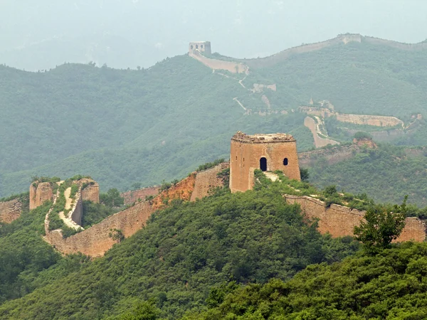
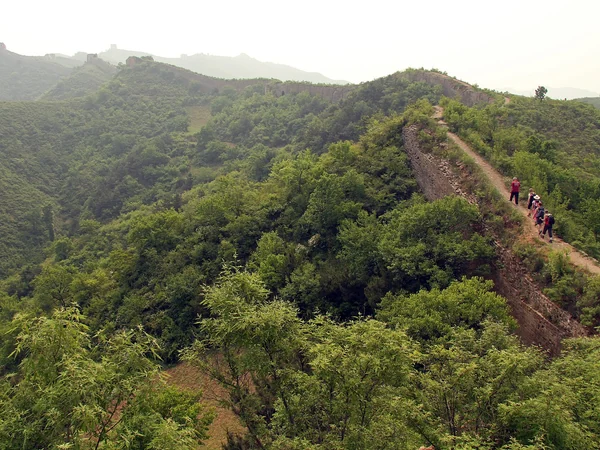
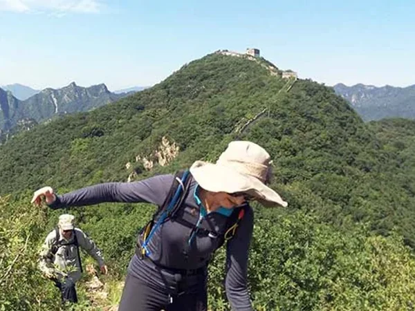
From permitted viewpoints, the highest ridges reveal the defensive relationship between wall, valley and nearby passes without requiring a full traverse. Bring a downloaded map, water, weather protection and an emergency contact, but regard this equipment as preparation rather than permission. Because this is not a conventional serviced attraction, do not expect regular toilets, food stalls or signed evacuation points on the mountain. A conservative turnaround is more useful than a distance target, especially when daylight, heat or visibility deteriorates.
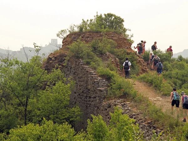
Looking north, overlapping ridges show why visibility and signaling mattered to the frontier system.
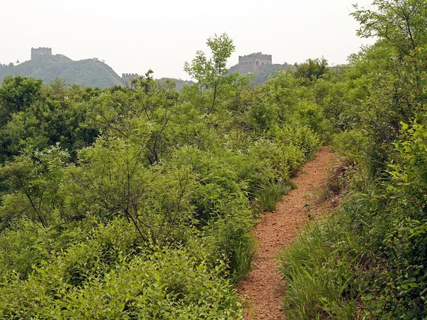
Looking south, the Gubeikou basin explains how routes through the mountains could be observed and controlled. Wohushan is best approached as a conservation landscape for experienced, properly guided visitors; travelers wanting straightforward signs, facilities and maintained steps should choose Jinshanling, Mutianyu or another open scenic area.
From $ 389
From $ 509
From on request