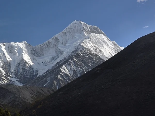
Tibet's mountains are the structural frame of the plateau, the source areas for major rivers, centers of glacier and permafrost research, and living cultural landscapes. They should not be described as a single east–west wall or a list of record elevations. Different ranges meet, curve and divide drainage basins across a region shaped by the continuing collision of the Indian and Eurasian plates. Summit heights can also be revised by new surveys. Reviewed August 29, 2026.
Major West-to-East Mountain Belts
The Himalaya
The Himalaya forms Tibet's southern margin in a broad arc rather than a simple straight line. Its high peaks and deep valleys create sharp climatic contrasts: the southern slopes intercept monsoon moisture, while areas farther north lie in a rain shadow. Glaciers store and release water seasonally, but their response to warming differs by basin, altitude and debris cover. Travelers see only a small portion of this system from established roads and viewpoints.
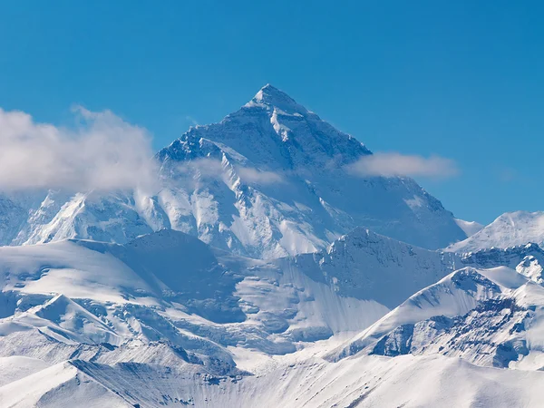
Mount Everest stands on the China–Nepal border at the jointly announced elevation of 8,848.86 metres. A visit to the north-side region is a regulated high-altitude journey, not an extension of ordinary Lhasa sightseeing. Use the Mount Everest destination guide for permit, road and acclimatization context, and never turn a clear-weather photograph into a promise of summit visibility.
Gangdise and Nyenchen Tanglha The Gangdise and Nyenchen Tanglha belts extend across central and western Tibet and help separate externally draining southern river systems from many closed northern basins. Mount Kailash is revered in Hindu, Buddhist, Jain and Bon traditions; pilgrimage behavior, access and environmental limits matter more than disputed online elevation figures. Nyenchen Tanglha is closely associated with Namtso and central Tibetan traditions. For a realistic high-mountain itinerary, read the
Everest travel guide rather than copying a summit-oriented route.
Karakoram and Tanggula
The Karakoram reaches the far west of the broader plateau system, while the Tanggula range separates parts of Qinghai and Tibet. Glaciated source areas around the Tanggula contribute to the headwaters of the Yangtze system. The commonly photographed Tanggula pass is also a high point on road and rail corridors; stopping briefly there does not equal safe acclimatization.
Kunlun Mountain System
The Kunlun ranges define much of the plateau's northern edge and connect with the Pamir and other Central Asian mountain systems. Their geology, arid basins and high passes vary too much for one average width or elevation to be meaningful. Travelers on the Qinghai–Tibet corridor encounter selected passes and foothills, not the complete range.
North–South Ranges and Deep River Valleys
The Hengduan Mountains
In eastern Tibet and adjoining Sichuan and Yunnan, roughly north–south ranges are cut by the Jinsha, Lancang and Nu river systems. Parallel ridges and deeply incised valleys create large local elevation differences, biological diversity and difficult transport corridors. “Hengduan” is a regional mountain system, not a single peak or one continuous ridge.
Mountains that appear modest above a high plateau surface can still stand at extreme absolute elevation. That distinction explains why a pass may look rolling while exposing visitors to serious hypoxia, cold and ultraviolet radiation. Weather, road access and permit rules must be checked for the exact valley or pass. Review
Tibet's climate patterns, ascend gradually and do not climb sacred formations, enter glaciers or approach avalanche terrain without qualified local and technical support.

 Ask a Question