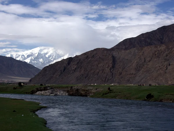
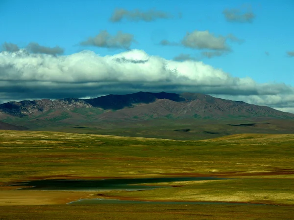
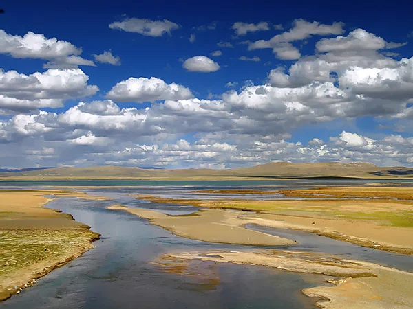
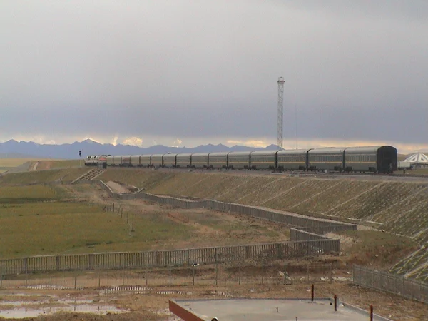
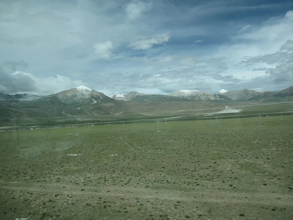
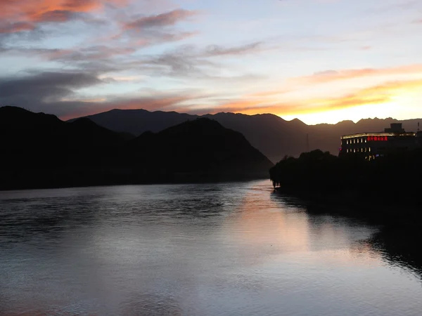
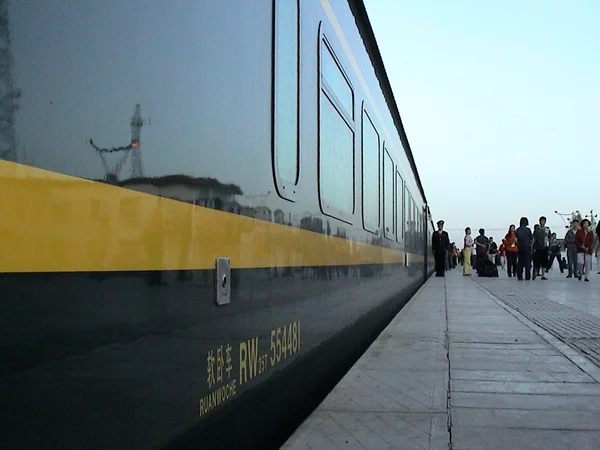
The Qinghai–Tibet Railway crosses lake basins, the Qaidam desert margin, high permafrost terrain, headwater wetlands, grasslands and the Lhasa River valley. The view from the window depends on season, cloud, daylight, train direction and berth position; no timetable can guarantee a named landmark view. Check the Qinghai Lake guide for a ground visit rather than treating a distant rail view as equivalent. Reviewed August 29, 2026.
Xining to Golmud: Lake and Basin Landscapes
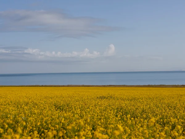
West of Xining, the route reaches the northeastern plateau and runs near the broader Qinghai Lake landscape before continuing through grassland and the Qaidam Basin toward Golmud. The old advice that highlights always begin at one fixed morning hour is unreliable because trains leave different cities at different times and may run late. Use the actual train number and sunrise time to estimate daylight, while accepting that weather and window orientation can change the experience.
- Qinghai Lake — broad water, pasture and distant mountain views may appear on the corridor, but the railway is not a shoreline excursion.
Golmud to Tanggula: Highest and Most Remote Section
Qinghai section: Kunlun foothills, Yuzhu Peak area, Hoh Xil, upper Yangtze headwaters and Tanggula terrain.
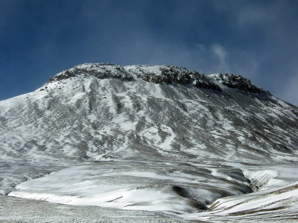
After Golmud the line climbs rapidly. Passengers may notice Tanggula terrain only as broad undulating plateau rather than a sharp alpine pass. The corridor also crosses the Tongtian River headwater system and runs through parts of the Kunlun mountain environment. These landscapes are ecologically sensitive; railway windows offer observation without entering protected habitat.
- Tanggula high point and station area
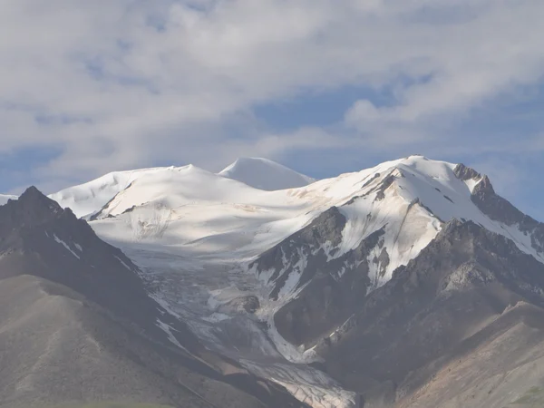
- Yuzhu Peak and Kunlun skyline
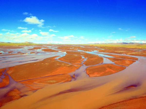
- Tongtian River headwaters
- Kunlun Mountain tunnel corridor
- Hoh Xil protected landscape
- Tuotuo River and upper Yangtze source region
Near Tanggula, the track rises above 5,000 metres.
The station is an operational landmark rather than a routine sightseeing stop. Passengers remain on the train unless their ticket and current railway operation provide otherwise. Cold, low oxygen and sudden weather are serious even in summer. Hoh Xil wildlife may be far from the line or absent; never promise antelope sightings. The broader scientific and conservation setting is explained in the
protected landscapes guide.
Tanggula to Lhasa: Grasslands, Wetlands and River Valley
Tibet section: Nagqu grasslands, Damxung wetlands, Yangbajing and the Lhasa River corridor.
South of Tanggula the route enters Nagqu through very high grassland and wetland systems. Summer can bring green pasture and dramatic cloud, but livestock, tents and wildlife are not scenic props; these are working landscapes shaped by pastoral life and conservation.
Beyond Nagqu, wetlands and open pasture lead toward Damxung. Namtso lies west of the main corridor and may not be visible. Damxung marks a transition toward the Nyenchen Tanglha and Yangbajing area; cloud often obscures peak identification.
- Damxung and Nyenchen Tanglha
Approaching Yangbajing, settlement and vegetation gradually increase. The Lhasa River then guides the final approach through a more inhabited valley. Reflections are strongest when the carriage is bright; shade the lens without pressing equipment against the glass.
Arrival in Lhasa
Lhasa station is the end of this rail segment, not the end of altitude planning. Pre-arrange the approved transfer, keep the first day light and do not schedule immediate higher excursions. For mountain identification beyond the window, consult the
high-mountain context guide. Choose the train for schedule, berth and permit compatibility; treat scenery as a valuable but weather-dependent extra.

 Ask a Question