Your China & Yunnan Travel Experts

 Ask a Question
Reviewed August 27, 2026. Transportation in Tibet is an altitude-and-distance decision before it is a timetable decision. Flying reaches Lhasa or another regional airport quickly, but it can take a traveler from near sea level to high altitude in a few hours. The Qinghai–Tibet Railway offers a long, scenic approach and useful connections, yet arriving by train does not guarantee acclimatization: much of the physiological adjustment occurs after sustained time at sleeping altitude, and passengers can still feel unwell on arrival. Road routes connect valleys, monasteries, lakes and remote landscapes, but a short line on the map may cross high passes, construction zones or weather-exposed terrain. Compare the whole journey—departure city, terminal transfer, identity check, baggage, arrival altitude, hotel transfer and recovery time—not one advertised duration.
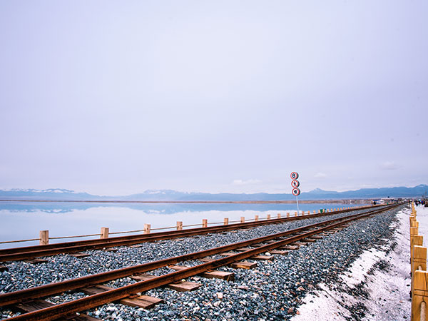
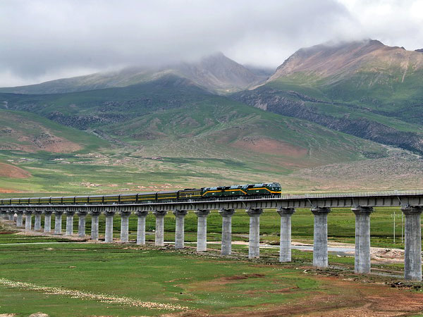
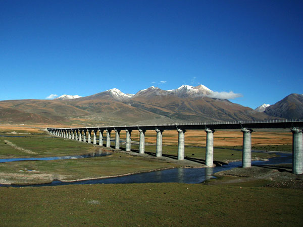
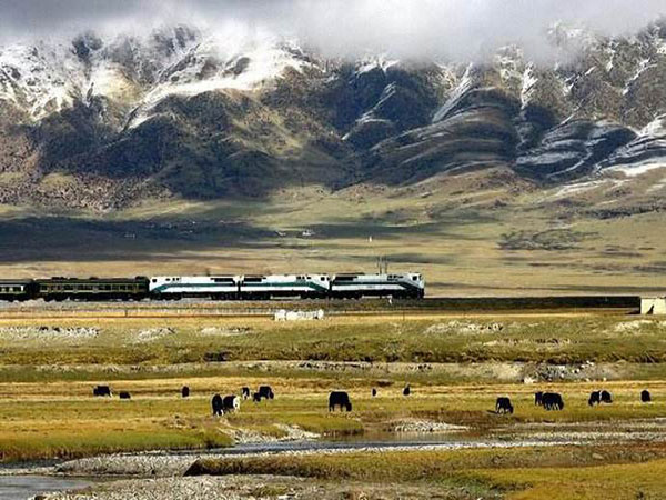
For rail, use the official English China Railway 12306 service or another clearly authorized booking channel. The official 12306 FAQ states that eligible valid foreign passports are accepted on its English website; passenger names and document details must match the passport used for travel. Check the exact origin and destination station because a city can have more than one terminal, and treat any schedule printed on an article page as illustrative until confirmed for the operating date. The Qinghai–Tibet Railway guide explains the route and onboard trade-offs. Carry food or medicine within current transport and security rules, keep essential medication in hand luggage, and do not assume onboard oxygen systems prevent altitude illness.
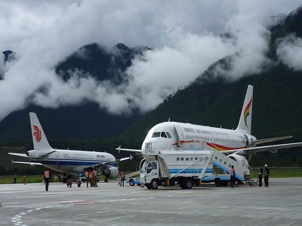
For flights, compare the operating airport rather than the city name alone. Lhasa Gonggar is the main gateway, while airports serving Nyingchi, Shigatse, Qamdo and Ngari may fit specific routes subject to current schedules and access. Weather, aircraft rotation and airport operations can change a plan; avoid a short, separate-ticket connection to an international departure. The Tibet airports guide gives regional orientation, but airline and airport notices remain the authority for check-in, baggage and service status. After landing, schedule light activity and a direct hotel transfer instead of a stair-heavy monument or long onward drive.
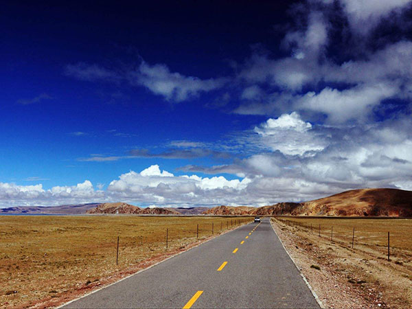
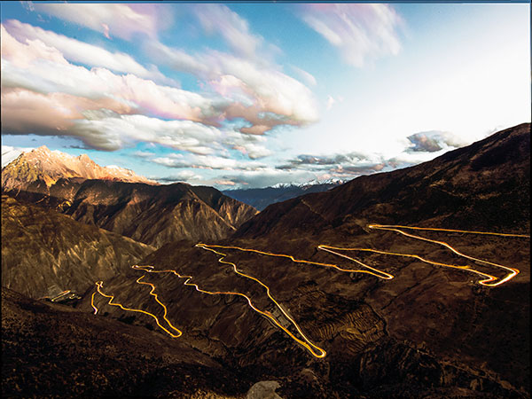
Road travel requires licensed operations, realistic driving days and a route-specific fallback. The Qinghai–Tibet Highway approaches from Xining and Golmud across exposed plateau terrain; the Sichuan–Tibet corridors cross large elevation changes and complex mountain country. Conditions can shift because of rain, snow, rockfall, maintenance, traffic controls or local access rules. Never treat an old completion time as a promise. Ask which road is planned, the highest pass and sleeping altitude, vehicle type, seat-belt availability, driver hours, fuel and toilet stops, communication coverage and what happens if the route closes. For the plateau approach and its service constraints, read the Qinghai–Tibet Highway guide.
Altitude health belongs in the transport plan. CDC guidance emphasizes gradual ascent and a conservative rise in sleeping altitude once above 3,000 metres. Fitness is not protection. Keep the arrival day light, avoid alcohol for the first 48 hours at high altitude, and do not ascend with worsening symptoms. Confusion, loss of coordination or breathlessness at rest are emergency warning signs requiring professional assessment and descent. Travelers with medical risk factors should consult a clinician before travel. Oxygen equipment, if provided, is not a substitute for an evacuation plan or safe itinerary.
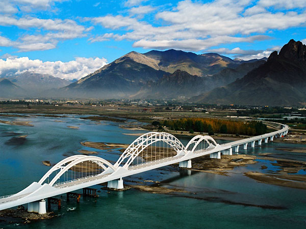
Build one operational sheet for every leg: pickup location in Chinese, provider, vehicle or train number, terminal, passport requirement, departure buffer, baggage condition, scheduled arrival, sleeping altitude, hotel telephone number and recovery option. Download confirmations for offline access and keep an independent emergency contact. Children, older travelers and people with reduced mobility need longer station buffers, confirmed step-free routes and practical toilet stops. Recheck rail, air, road, attraction and permit details shortly before departure. The nine retained real photographs below remain in their original positions because each accurately represents its linked mode, route or railway topic; the ALT text now states what the image actually shows without inventing a date, operator or safety guarantee.