Your China & Yunnan Travel Experts

 Ask a Question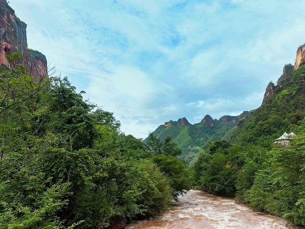
Length: approximately 6,300 kilometers in current official summaries. Basin: about 1.8 million square kilometers in official reference material. Flow direction and outlet: generally eastward across China to the East China Sea. Compare the verified Yangtze cruise routes before matching geography to a sailing plan.
The source system is complex and should be read with current official geography:
Official summaries commonly describe the Tuotuo or broader source rivers near the Tanggula and Geladandong region.
Upper-reach source and valley system
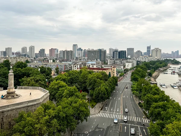
Middle and lower reach scale and lake connections
Upper reach: The high-elevation source system develops in Qinghai , then continues through plateau valleys and the Jinsha system. One accessible example of upper-reach gorge geography is Tiger Leaping Gorge , while downstream tributaries and basin storage expand river volume.
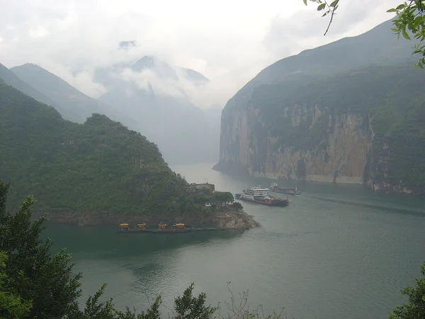
Approaching the best-known cruise corridor, the river passes Mount Wushan and enters the Three Gorges , where cruise planning depends on ship, season and embarkation port.
Middle reach: From Yichang, the river crosses floodplain and wetland systems linked with Poyang Lake and other large lakes including Dongting Lake . Seasonal water levels matter for habitat, navigation and photography.
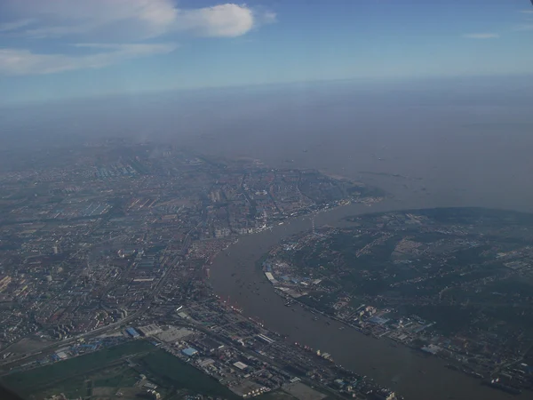
Lower reach: Below Hukou, the river passes dense cities, ports and delta plains toward the East China Sea.
The whole river is commonly called Chang Jiang in Chinese.
Before booking, verify current ship and port details.
The river is the product of plateau uplift, faulting, erosion, changing base levels and connections among earlier drainage basins. Researchers debate timing and mechanisms for parts of the modern integrated river, so a travel page should not claim one precise formation year. Read the gorge landscape as evidence of long geological change, then use the Chongqing travel guide to place the upper cruise gateway in its regional setting.
The basin supported multiple Neolithic, Bronze Age and later regional cultures, agricultural systems, cities and transport networks. Archaeological evidence differs across the upper, middle and lower basin, so “one cradle” is a metaphor rather than a complete historical model.
For travel, connect evidence to place: museums and archaeology in the upper and middle basin, Three Gorges settlement history, lake wetlands, canal and port cities, and the modern delta. The Yichang travel guide helps check the eastern cruise gateway. Yun Sky Travel can verify a route and current supplier details, but not settle academic debates or guarantee river level, weather or ship inventory.
Yangtze Three Gorges guide
Yangtze River cruise tours
Best time for a Yangtze cruise
Yangtze cruise ship facilities