Your China & Yunnan Travel Experts

 Ask a Question
A China Silk Road journey crosses several climate zones rather than one continuous weather pattern. Xian's monsoon influence, the dry Hexi Corridor, the low Turpan Basin and the higher Tianshan region can require different clothing in the same itinerary. Compare the major stops through the Silk Road destinations guide, understand their order with the Silk Road route guide, and use the broader China climate guide for national context. Seasonal descriptions below are planning patterns, not forecasts; verify current conditions shortly before each travel day.
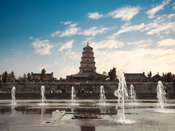
Xian has four distinct seasons and a monsoon-influenced continental climate. Spring can change quickly, summer is hot and humid, autumn is generally milder, and winter is cold and comparatively dry. The useful planning question is not whether the city is visitable, but how heat, rain and air quality affect long outdoor days at the City Wall and archaeological sites.
For comfortable walking, spring and autumn often provide the easiest balance, yet rain, holiday demand and short-term weather still matter. Carry a light layer and rain protection, and read the live forecast before any Huashan extension because mountain conditions can differ from central Xian.
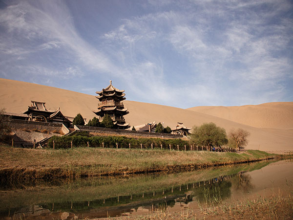
Dunhuang sits on the desert edge in Gansu, where dry air, strong sun and large day-to-night temperature changes are more important to a traveler than an annual average. The desert setting can feel warm at midday and cool after sunset even within one visit. Wind and dust are possible, so protect eyes, camera equipment and drinking water. Use breathable layers rather than one heavy garment. A Dunhuang plan should separate climate decisions for the Mogao Caves, which are indoors and controlled, from the exposed dunes around Mingsha Mountain. Check the local forecast and current attraction notices before sunrise, sunset or outdoor photography.
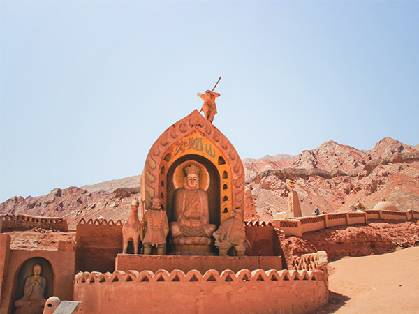
Turpan lies in the Turpan Basin, Xinjiang where an arid continental climate and very hot summers shape the sightseeing day. The basin is lower and usually hotter than nearby Urumqi, so treating both cities as one weather zone leads to poor packing and unrealistic schedules.
In the hottest period, move exposed sites to the morning or late afternoon, protect against sun and dehydration, and keep midday flexible. Sudden local rain can still affect roads despite the region's overall dryness. Autumn generally offers a more manageable balance for open-air ruins, vineyards and the Karez system, but travelers should check the dated forecast rather than depend on historic monthly figures.
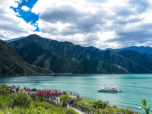
Urumqi has a dry continental climate with meaningful seasonal and day-to-night variation. Its elevation and position near the Tianshan Mountains make it cooler than Turpan, while Tianchi can be cooler again and exposed to mountain weather. A single Xinjiang packing list therefore needs layers.
Late spring through early autumn usually supports the broadest range of city and mountain activities. Winter brings genuine cold and a different travel experience; it should be chosen deliberately. Check the current Urumqi and Tianchi forecasts separately, allow for wind, and avoid promising a mountain view on a fixed day.
Here is a classic silk road itinerary for your reference.
10 Days Silk Road Adventure by China Orient Express
From $ 3510
From $ 3061

From $ 3683