Your China & Yunnan Travel Experts

 Ask a Question
Reviewed August 27, 2026. Tibet does not have one uniform climate. Elevation, latitude, slope and monsoon exposure create sharp differences between the warmer, wetter southeast, the high central valleys and the colder, drier northwest. Lhasa sits at roughly 3,650–3,700 metres, while many overland routes and viewpoints climb far higher; a forecast for Lhasa therefore cannot stand in for Namtso, Shigatse, Nyingchi or Everest-area travel. Most of the region's precipitation falls in the warmer months, often in short evening or overnight periods, but timing and intensity vary by valley. Summer can bring mild daytime conditions, cloud, rain, road disruption and cool nights on the same itinerary. Winter is generally drier and quieter, with strong sun by day and serious cold after sunset. Spring is often dry and windy; autumn commonly offers clearer views but rapidly shortening daylight and colder nights. Compare the route with our Tibet geography guide before deciding what “good weather” means for your trip.
Regional pattern matters. Lhasa and Shigatse are relatively dry high valleys; Nyingchi and the southeastern gorges receive more moisture and support forested landscapes; the Everest approach is exposed, high and capable of abrupt wind, cloud and snow; northern and western plateau routes are colder, drier and more remote. Do not convert those broad patterns into exact forecasts. A road can climb more than a thousand metres in a day, and shade, wind and rain can change comfort faster than the air temperature suggests. Sunrise and sunset timing also affects usable sightseeing hours and how quickly temperatures fall.
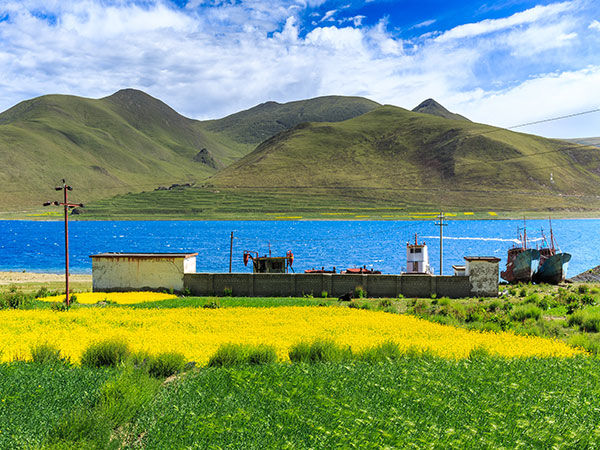
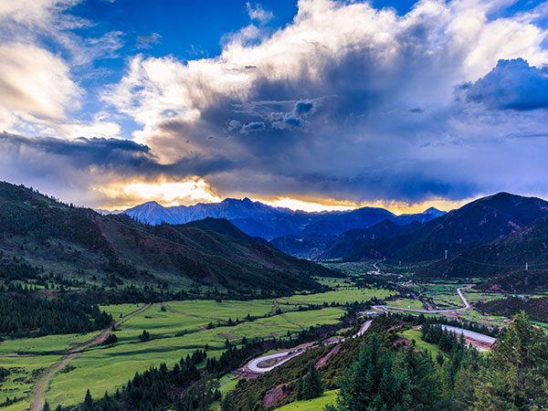
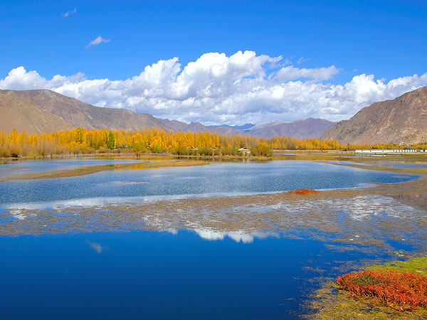
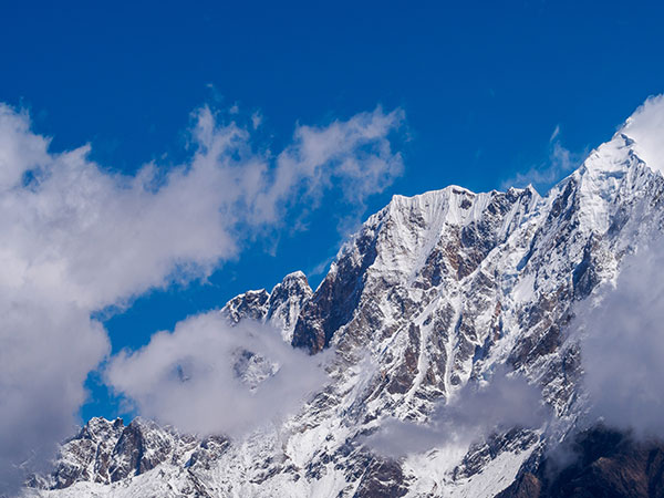
Planning rule: use city- and elevation-specific forecasts within a few days of each journey, then ask the operator about the highest sleeping altitude, exposed passes and road contingencies. China's meteorological authorities describe the plateau climate as complex, so a monthly average is a planning clue rather than a promise. Pack a layered system: breathable base layer, warm mid-layer, windproof outer layer, sun hat, UV-rated sunglasses, sunscreen and rain protection in the wetter season. Keep insulation accessible during drives because a sunny valley and a shaded pass can feel like different seasons. Protect cameras and medicines from freezing or moisture, carry a reusable water bottle where safe refills are available, and keep one dry layer separate from the daypack's outer compartment. The four retained photographs below show real spring, summer, autumn and winter landscapes; they illustrate seasonal tendencies and do not predict daily conditions.
Altitude is the constant behind every season. The CDC Yellow Book lists Lhasa at about 3,700 metres and explains that low air pressure, cold, low humidity and stronger ultraviolet exposure can affect travelers even when the sky looks calm. Fitness does not prevent altitude illness. A conservative itinerary allows the first 24–48 hours for light activity, avoids a rapid increase in sleeping altitude, and builds extra acclimatization time as the route rises. Headache with nausea, unusual fatigue, dizziness or poor sleep can be early warning signs; worsening symptoms, confusion, breathlessness at rest or loss of coordination require urgent assessment and descent rather than “pushing through.” Travelers with heart, lung, blood or pregnancy-related concerns should obtain individualized medical advice before booking. Never use this page as a diagnosis or a substitute for a clinician.
Season choice should follow the experience you want. Read the spring weather guide for dry air, wind and changing mountain conditions; use the autumn weather guide when prioritizing clearer views and colder evenings. In summer, allow rain buffers and confirm road status; in winter, verify seasonal access and heating rather than assuming every attraction or remote route operates normally. Travelers who prioritize blossom and forest scenery may prefer the southeast, while those focused on high Himalayan visibility often value the clearer post-monsoon window. These are trade-offs, not guarantees: cloud can block a famous view in any month, and a clear day can still be cold and physiologically demanding.
Build a weather buffer into the booking itself. Avoid placing a long remote drive immediately before an international flight; confirm what happens if a pass closes; choose accommodation with appropriate heating for the season; and ask whether a vehicle carries emergency supplies suitable for the planned route. Download official forecasts for the route rather than one city, keep the operator's emergency contact offline and tell someone the day's destination. Weather, transport and access rules change, so reconfirm with official forecasts, the attraction and a licensed local operator shortly before departure. A strong plan is not built around a single “best month”; it matches elevation, walking load, road exposure, crowd tolerance and health profile, then leaves enough slack to respond to the plateau.