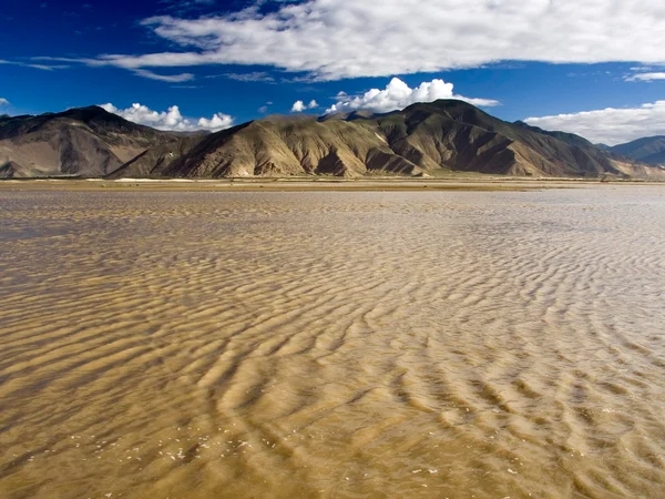
Tibet's rivers connect the plateau to
major Asian drainage systems, but the Tibet Autonomous Region and the whole Tibetan Plateau are not interchangeable terms. Some headwaters lie in Qinghai, Sichuan or other plateau regions, and rivers acquire different names downstream. This distinction prevents the inaccurate claim that every major Asian river begins inside today's administrative Tibet. Reviewed August 29, 2026. The Yarlung Tsangpo, Nu, Lancang and Jinsha systems cut or border parts of the region, while northern Tibet contains many closed basins that do not reach an ocean. Read Tibet's lake systems to understand where that inland water ends.
River flow comes from a changing combination of monsoon rain, snowmelt, glacier melt, groundwater and wetland storage. The balance differs by basin and season; “glacier-fed” does not mean a river is supplied only by ice, and apparently clear water is not automatically drinkable.
Naming and source claims
should therefore specify the reach, basin and evidence used. A headwater identified by modern surveying can differ from a culturally recognized source or an older atlas label.
Four Drainage Patterns in and around Tibet
Pacific drainage: the Jinsha–Yangtze and Lancang–Mekong systems.
The Jinsha is the upper Yangtze below its headwater reaches. It flows along parts of the Tibet–Sichuan boundary before entering Yunnan. Deep gorges, tributaries and seasonal discharge vary greatly, so one old regional length figure cannot describe the full river system.
The Lancang rises from headwater networks on the broader plateau, passes through eastern Tibet and Yunnan, and is known downstream internationally as the Mekong. The change of name does not mark a single hydrological beginning; it reflects geography, languages and national usage.
Indian Ocean drainage:
includes the Yarlung Tsangpo–Brahmaputra, Nu–Salween, Indus tributaries and several Himalayan rivers. These are transboundary systems whose floods, sediment, ecosystems and water use cannot be understood from one country or one reach alone.
The Yarlung Tsangpo flows east across southern Tibet before turning through the great gorge and continuing downstream as the Siang/Dihang and Brahmaputra. Its source area, main-stem length and ranking depend on the definition and survey used. For travelers, bridges and licensed viewpoints are appropriate; rafting or gorge access requires specialist permissions, season-specific assessment and rescue capacity.
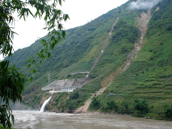
The Nu River rises in the Tanggula region and runs south through eastern Tibet and Yunnan before becoming the Salween. The Jinsha, Lancang and Nu gorges are tied to north–south mountain structure; compare the
mountains of Tibet for that topographic relationship.
Northern closed drainage:
short rivers and seasonal streams feed saline or freshwater lakes across the Changtang. Their flow can expand quickly after rain or snowmelt, while dry channels may be impassable mud or flash-flood routes rather than safe roads.
Southern internal basins:
smaller closed systems occur north of the Himalaya and south of the Yarlung Tsangpo. They receive less attention than the great transboundary rivers but matter to grazing, wetlands and local settlements. Climate monitoring shows that plateau water storage is changing unevenly, with consequences downstream. For the engineering and observation context, continue to the
Qinghai–Tibet Railway project; when visiting any river, avoid banks after storms, do not drink untreated water, respect protected areas and follow current bridge, drone and photography rules.

 Ask a Question