Your China & Yunnan Travel Experts

 Ask a Question
Reviewed August 27, 2026. Tibet occupies the southwestern section of the Qinghai–Tibet Plateau, a vast highland system shaped by the continuing collision of the Indian and Eurasian tectonic plates. Official Chinese reference material places the autonomous region at roughly 1.22 million square kilometres, with an average elevation above 4,000 metres. That average hides the geography travelers actually feel: high basins and grasslands in the north and west, the Yarlung Tsangpo valley across the south-central region, the Himalayas along the southern margin, and steep, wetter gorges toward Nyingchi and the southeast. Elevation, relief and river valleys influence roads, climate, settlement, agriculture and where medical support is available.
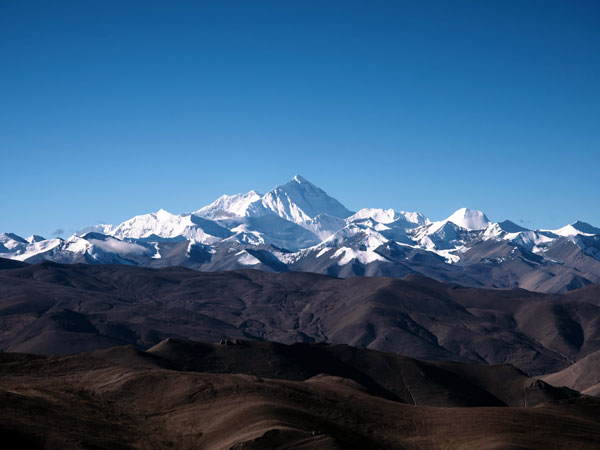
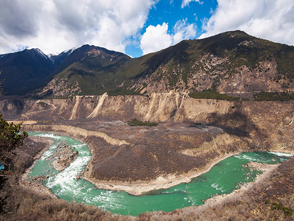
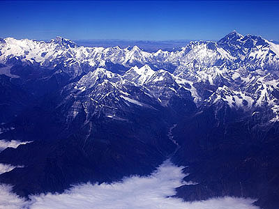
Four broad landscape zones help with orientation. The northern plateau contains expansive grassland, lakes and long distances between services. South-central valleys support many of the best-known settlements and cultivated areas. The Himalayan margin concentrates enormous relief, glaciers and high passes. Eastern and southeastern Tibet breaks into mountain-and-gorge country where elevation can change sharply and monsoon moisture supports forests. These are planning categories rather than rigid scientific borders, and a route can move between them quickly.
A useful travel map therefore begins with sleeping altitude and driving time. Lhasa is around 3,650–3,700 metres; many passes and scenic stops are higher, while some southeastern valleys are lower and greener. A straight line on a map can cross a mountain chain, protected area or river canyon, so distance alone is misleading. Before booking, mark each overnight stop, the highest pass, the longest day on the road and the nearest realistic place to descend. Ask what road surface, fuel, toilets, food and communication are realistically available—not what a brochure implies. The mountains of Tibet guide adds range-level context, but it should not be read as permission, route advice or a climbing plan. Local access rules, road status and seasonal closures must be checked close to travel.
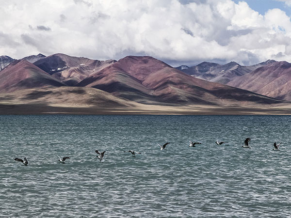
Water connects this high terrain to a much wider region. Tibet contains headwaters and upper courses associated with major Asian river systems, while glacier, snow and monsoon inputs feed rivers, wetlands and numerous lakes. The Yarlung Tsangpo crosses southern Tibet before turning through a deep gorge; other systems flow toward South, Southeast and Central Asia. These waters are ecologically important and culturally significant, but the “water tower” label should not tempt visitors to treat every shore as open recreation space. Wetlands, sacred sites, border areas and wildlife habitat can have strict limits. Read the Tibet rivers guide for drainage context and the Tibet lakes guide for low-impact visiting.
At lakes and river viewpoints, stay on established access routes, keep distance from nesting birds and livestock, carry out waste and never fly a drone without explicit legal and site permission. Do not wash, swim or collect stones at a place simply because another visitor did so. Sacred-landscape etiquette is site specific; ask a local guide how to behave rather than applying a generic “Tibetan custom.” In glacier-fed environments, water level, ice and bank stability can change seasonally, making an old photograph a poor safety guide.
Landscape also shapes climate and health. The southeast receives more moisture, the northwest is generally colder and drier, and daily temperature swings can be large. Strong ultraviolet exposure and low oxygen occur even on cool, clear days. The CDC Yellow Book advises gradual acclimatization and warns that physical fitness does not remove altitude-illness risk. Keep activity light on arrival, add contingency days before remote sectors and treat worsening symptoms as a reason to stop ascending. Geography is not just background information: it tells you when a road journey is ambitious, why a valley can be green while a nearby basin is arid, and why an itinerary should be built around altitude, weather and responsible access rather than a list of famous names.