Tibet
is not one destination but a set of high-altitude regions with very different climates, road times, permit conditions and cultural landscapes. A useful plan starts with altitude progression and geographic logic, not a “top attractions” ranking. Lhasa, Shigatse, Shannan, Nyingchi, Chamdo, Nagqu and Ngari can each justify a separate journey, but combining all of them in one short trip would create unsafe transfers and shallow visits. Reviewed August 29, 2026.
Choose a first base, verify current access, then add one corridor at a time. Most first-time visitors begin with
Lhasa travel planning, where road, rail and air connections are strongest. Nyingchi offers a comparatively lower entry point but is still high altitude; Shigatse and Shannan extend the central cultural route; Nagqu, Chamdo and Ngari demand more road time, contingency and local coordination. Border and military-sensitive areas can close or require additional documents. No photograph, fixed “best month” or old driving-time table should override current permits, weather and health advice.
Lhasa: Heritage, Pilgrimage and Acclimatization
Lhasa Lhasa is the regional transport and service hub, but its elevation of roughly 3,650 metres makes the first day a health-planning day rather than a race through landmarks. Build two or more light nights before higher excursions, walk slowly, avoid alcohol and seek help if symptoms worsen. The old city is a living pilgrimage landscape; follow the clockwise flow where indicated and keep doorways clear.
What to Prioritize in Lhasa
On Lhasa's Red Hill,
the present Potala Palace is a layered historic complex whose major White and Red Palace phases date largely from the seventeenth century, although the site has much earlier associations. Timed entry, security checks and stair climbing require preparation; confirm ticket and identity rules directly.
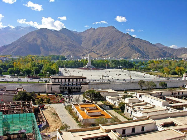
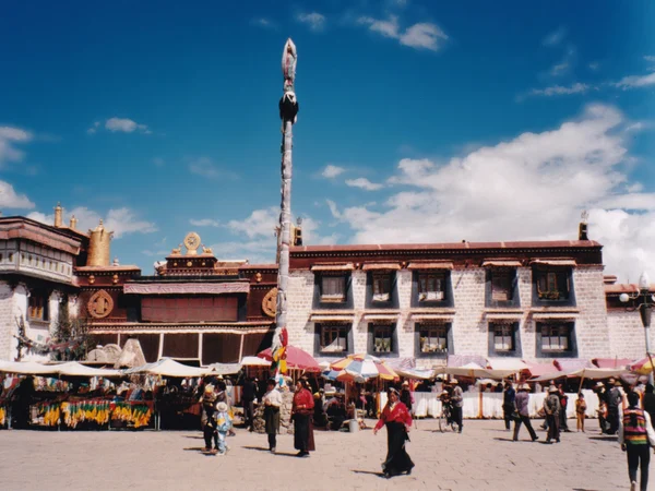
Jokhang Temple was founded in the seventh century and repeatedly repaired and expanded. It remains an active sacred center, so interior access and photography are governed by worship and conservation rather than visitor convenience.
Barkhor is a ritual circuit, neighborhood and commercial street. Walk with the pilgrimage flow, ask before photographing people and distinguish devotional objects from mass-produced souvenirs.
Drepung is a large monastic complex on a hillside. Vehicle access, steps and opening areas vary, and festival days can create crowd controls; allow more time than a city-center stop.
The Tibet Museum provides regional history and object context that makes later palace, monastery and archaeological visits easier to understand. Check current galleries and reservation requirements.
Shigatse: Monastic Heritage and the Western Route
Shigatse Shigatse is the main urban hub west of Lhasa and a practical staging point for Tashilhunpo, Gyantse and permitted Everest-region travel. Use the current
Shigatse travel guide for transfers and opening information. The city is not itself on three international borders; the wider prefecture reaches sensitive frontier areas where access and photography controls can be stricter.
What to Prioritize around Shigatse
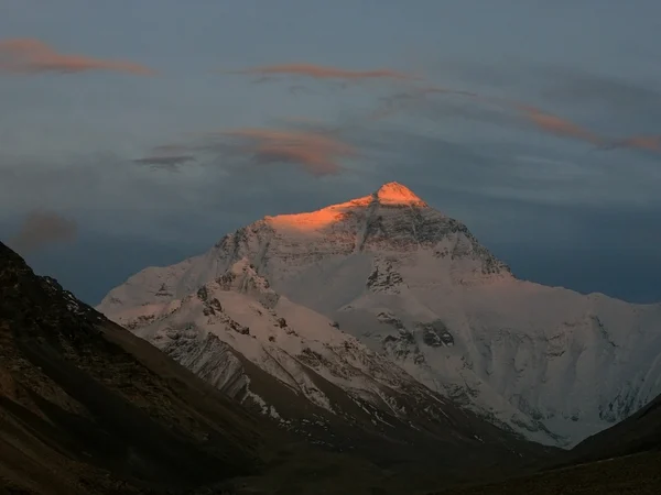
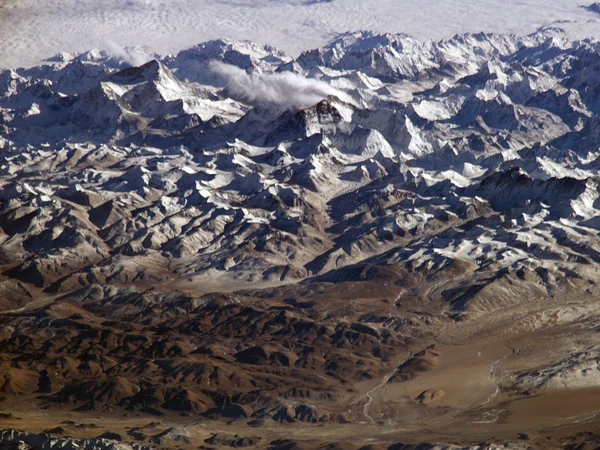
Mount Everest reaches 8,848.86 metres at the China–Nepal border. North-side tourism remains far below the summit yet still involves extreme sleeping altitude, wind and limited medical access. Treat visibility as weather-dependent and never compress acclimatization to chase a clear forecast.
Tashilhunpo Monastery Tashilhunpo Monastery is an active Gelug institution with major assembly halls, stupas and pilgrim routes. Dress conservatively, respect closed chapels and confirm whether photography is permitted in each area.
Sakya Monastery is valued for architecture, murals and manuscript traditions. It lies west of Shigatse, so road time and site hours should be confirmed before treating it as a brief detour.
Rongbuk Monastery sits in the Everest landscape at very high altitude. Access depends on the approved itinerary and local controls; a monastery visit is not permission to enter mountaineering zones.
Zhangmu and other border corridors are subject to changing trade, road and foreign-visitor rules. Do not build an itinerary around an old description of a busy open port.
Shannan: Yarlung Valley and Early Tibetan History
Shannan Shannan's Yarlung Valley contains places connected with early Tibetan political and religious history. Tsetang can anchor visits to Samye, Trandruk, Yumbulagang and the royal tomb landscape, but river crossings and road works affect daily sequencing. Archaeological interpretation and later sacred tradition should be presented together without turning legends into proven construction dates.
What to Prioritize in Shannan
Samye Monastery Samye is traditionally regarded as Tibet's first fully established Buddhist monastery. Its mandala-influenced layout is best understood with a knowledgeable guide and respectful movement through active worship areas.
Trandruk is an early temple with long-standing associations to the Tibetan imperial period. Exact foundation stories differ across textual and religious traditions, so avoid repeating a single legendary date as settled fact.
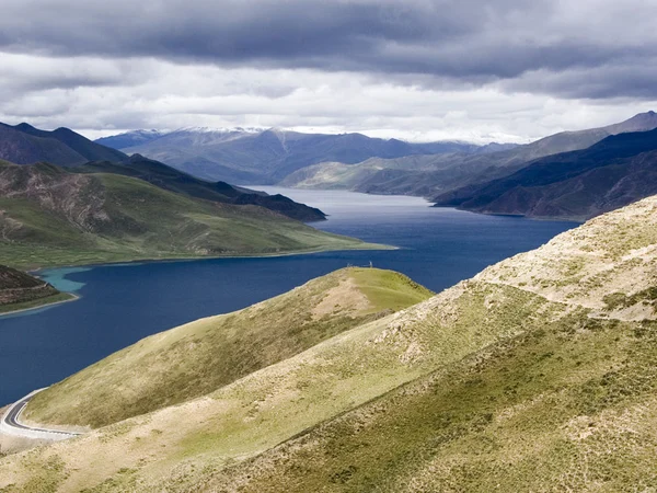
Yamdrok Lake Yamdrok Yumtso is a branching sacred lake and ecological system rather than a single roadside viewpoint. Wind, ultraviolet exposure and sudden weather are important even on short stops; do not descend onto fragile or restricted shoreline areas.
Yumbulagang occupies a prominent ridge above the Yarlung Valley. Its current architecture reflects reconstruction as well as tradition; steep access and altitude should be considered before the climb.
Nyingchi: Forested Valleys and a Lower-Altitude Approach
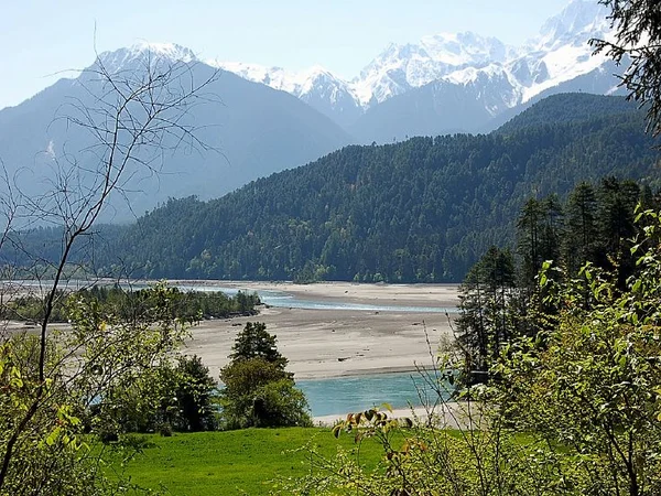
Nyingchi Nyingchi is wetter and more forested than central and western Tibet, with large vertical differences between river valleys, villages, glaciers and high peaks. Mainling airport is lower than Lhasa but still high enough for altitude illness. Peach-blossom timing changes with elevation and weather, while canyon viewpoints may be restricted seasonally.
What to Prioritize in Nyingchi
Basum Lake Basum Tso combines lake, forest and sacred landscape. Boardwalk and boat operations change with season; stay on established paths and keep distance from ritual areas and nesting wildlife.
Yarlung Zangbo Grand Canyon The Yarlung Tsangpo great bend is a vast mountain-and-river system. Published “deepest canyon” measurements depend on boundaries and methods, and ordinary viewpoints reveal only fragments. Remote trekking or rafting requires specialist permits, weather assessment and rescue capacity.
Chamdo: Eastern Valleys and Crossroads
Chamdo Chamdo sits at a difficult eastern crossroads of deep river valleys, mountain passes and cultural zones. Long road distances, landslide exposure and limited foreign-visitor access make it unsuitable as a casual add-on. Karub archaeology, monasteries and the wider Tea Horse Road context deserve more than a transit stop.
What to Prioritize around Chamdo
The Tea Horse Road was a changing network of trade paths rather than one continuous paved road. Local sections should be interpreted through settlement history, pack-animal travel and regional exchange.
Meili Snow Mountain lies mainly in neighboring Yunnan, not central Chamdo. It can relate to an eastern Tibet–northwest Yunnan cultural journey, but it should not be presented as a Chamdo city attraction.
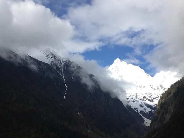
Ranwu Lake lies on the eastern route in Baxoi County. Water color and shoreline appearance change with sediment, season and weather; road and landslide conditions need current checks.
Nagqu: Changtang Grasslands and High-Altitude Wetlands
Nagqu , Nagqu covers broad, sparsely populated plateau landscapes where wildlife habitat, grazing and wetlands matter as much as scenery. It is not “natural farmland”; much of the region supports pastoral systems under severe cold, wind and altitude. Travelers need conservative driving stages and must remain outside protected or closed wildlife areas.
What to Prioritize around Nagqu
Namtso is a large saline sacred lake reached through very high terrain. Unsupported “highest salt lake” rankings should be avoided; the meaningful planning facts are rapid altitude gain, wind, cold and current access.

Northern grasslands are working pastoral and ecological landscapes, not empty wilderness. Stay on approved roads, do not enter fenced grazing areas and never approach wildlife for photographs.
Ngari: Kailash, Manasarovar and Far-Western Archaeology
Ngari Ngari combines extreme altitude, long distances, sacred landscapes and sensitive border geography. A western itinerary needs more acclimatization, reliable vehicles, current permits, cash and communications planning than a central Tibet circuit. Average elevations do not describe the daily risk: sleeping altitude and ascent rate matter more.
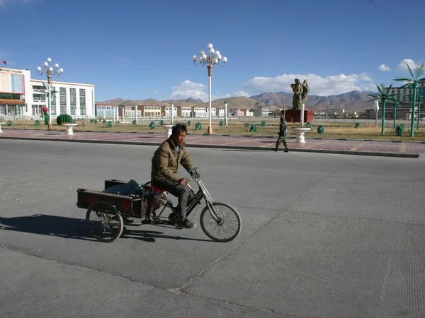
What to Prioritize in Ngari
Guge's ruins preserve architecture, sculpture and mural traditions in an arid landscape. Access, stairs and conservation closures vary; do not touch painted surfaces or walk beyond barriers.
Mount Kailash is sacred in Hindu, Buddhist, Jain and Bon traditions. Its height is about 6,638 metres, not an unsupported figure above 6,600 presented as the highest Gangdise peak. Review the
Mount Kailash guide and never treat the pilgrimage circuit as a fitness challenge detached from permits, weather, worship and altitude.
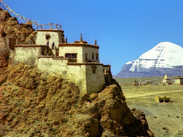
Lake Manasarovar is a high sacred freshwater lake, but it is not the world's highest freshwater lake. Respect shoreline rituals, avoid washing or swimming where prohibited and confirm road, accommodation and border-area rules before departure.
Related Information