Your China & Yunnan Travel Experts

 Ask a Question
Gubeikou and Jinshanling offer a demanding transition from weathered fortifications to a managed scenic section northeast of Beijing. The route is not a continuous wall-top stroll: access points change, a restricted area requires leaving the Wall, and the two ends use different transport. Confirm the legal route, ticket gates and pickup before departure.
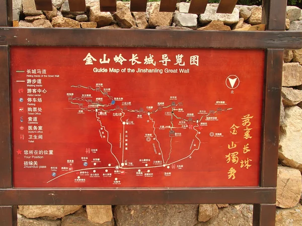
Gubeikou is a broad defense landscape around important mountain approaches. Panlongshan is commonly used for hiking, but surfaces are unrestored, towers are damaged and wayfinding can be unclear. Recent closures, conservation work or village rules can alter entry, so use current local guidance rather than an old trip report.
Gubeikou Great Wall Characteristics
• Weathered masonry and earthworks show a different conservation state from restored Jinshanling.
• Ridges, gates and subsidiary walls reveal defense in depth rather than one isolated barrier.
• Fragile fabric and steep drops require deliberate foot placement and strict leave-no-trace behavior.
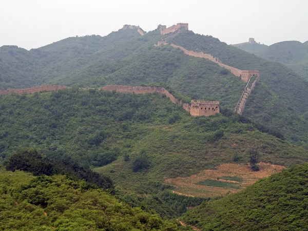
Jinshanling has managed entrances, restored stretches and long views across closely spaced towers. It remains physically demanding: stair gradients vary, shade is limited and some routes finish far from the gate where a vehicle is waiting. Photographers planning early or late light should verify opening access and arrange transport rather than assume normal daytime admission applies.
Jinshanling Great Wall Characteristics
• Strong ridge panoramas and varied tower architecture suit careful landscape photography.
• A managed site does not mean every path is flat, step-free or open in all weather.
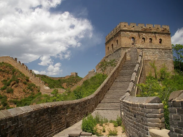
Choose direction according to transport and the operating gate, not a claim that one direction is universally easier. A private driver or experienced guide can reduce uncertainty because the start and finish differ. The Great Wall section comparison helps decide whether this is appropriate for the group.
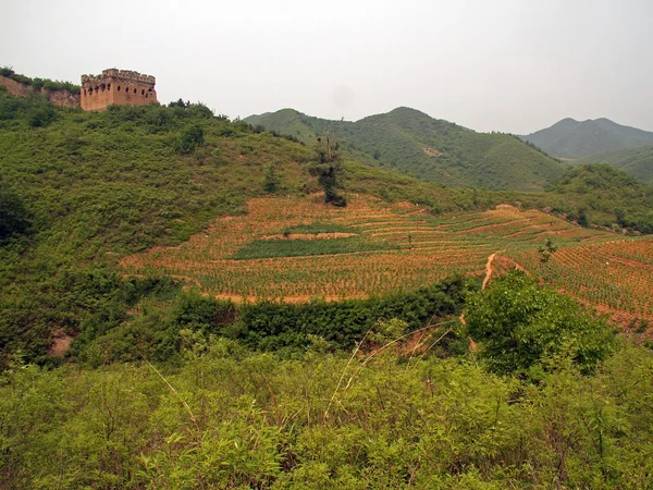
Between Panlongshan and Jinshanling, hikers must respect the restricted military zone and use the lawful off-wall detour. Never cross a barrier or improvise a shortcut. Routes around the restriction can change, which is a strong reason to obtain current local guidance.
Treat the route as a mountain day: check forecast and daylight, carry water and food appropriate to the group, protect against sun and wind, and keep enough reserve to descend safely. The Great Wall seasonal guide explains general weather tradeoffs without guaranteeing conditions.
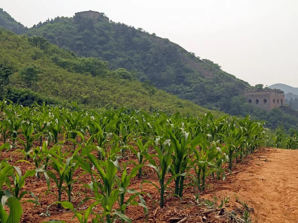
Panlongshan includes towers often identified as the General Tower and 24-Window Tower. Names and distances in older English blogs are inconsistent, so match landmarks with the current route rather than using them as sole navigation.
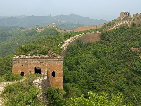
At the restricted boundary, descend where the authorized route directs, follow the bypass and re-enter only at a permitted point. If a gate is closed, signage is absent or the path becomes unsafe, turn back instead of forcing a through-hike.
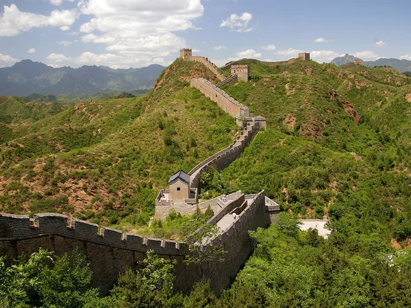
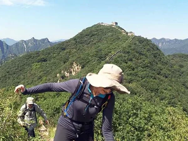
Jinshanling provides the managed finish and broader services, but confirm the exact gate and pickup pin. Travelers who prefer arranged logistics can consider a guided Great Wall hiking itinerary. Do not camp, fly a drone or enter closed towers without explicit current permission.
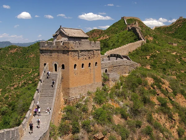
From $ 389
From $ 509
From on request