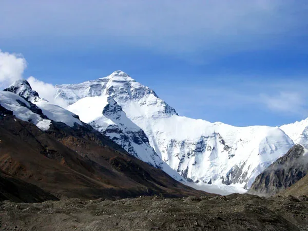
Mount Everest formed through a long sequence of ocean closure, continental collision, crustal shortening, uplift and erosion.
The process began tens of millions of years before the modern summit existed and continues through active deformation today. It is not accurate to imagine two rigid slabs meeting once and instantly creating a peak. The mountain's sedimentary rocks, major thrust faults and position within the Himalayan arc reveal different stages of that history. Compare the present summit measurement in the
Everest height guide.
The Continental Journey
More than 100 million years ago, India was part of Gondwana and lay far south of Asia. Oceanic crust of the Neo-Tethys separated the Indian continent from Eurasia. Plate motion carried India northward while oceanic lithosphere was consumed at a subduction zone.
India did not move as part of a single modern “Indo-Australian Plate” throughout the entire story; geologists reconstruct changing plate boundaries and speeds from marine magnetic anomalies, rocks and paleomagnetic evidence.
The essential cause of Himalayan mountain building was continued convergence after much of the intervening ocean closed. Initial India–Asia collision is commonly placed around 50 million years ago, although published estimates vary because researchers define collision using different geological evidence.
The Neo-Tethys Ocean left sediments and fragments along the collision zone. Some limestone now near Everest's summit began as carbonate sediment in a marine environment, but this does not mean the present summit itself once sat intact on an ocean floor. Rock layers were buried, deformed, faulted and carried upward within the growing mountain belt.
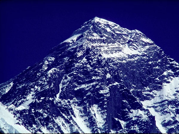
India and Eurasia still converge today, but motion is distributed across the Himalaya and Tibetan Plateau rather than expressed as a fixed annual increase in Everest's summit height.
Earthquakes are evidence that the region remains tectonically active. They can also alter local elevations abruptly, while ice, snow and measurement reference systems affect reported summit height. Everest's exact location on the China–Nepal boundary is explained in the Everest location guide.
Mountain-Building Mechanics
Continental crust is relatively buoyant, so large volumes do not descend easily into the mantle like dense oceanic lithosphere. Convergence instead shortens and thickens the crust through folding, thrust faulting and the stacking of rock packages. The thickened crust helps support the high Himalaya and Tibetan Plateau.
This movement is three-dimensional and spread across a wide deformation zone; simple school diagrams show the principle but not every fault or deep structure.
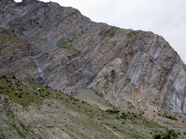
A useful illustration should therefore be read as a model, not a literal cross-section beneath the summit.
Continental Collision and the Rocks of Everest
Everest exposes three broad geological units separated by major low-angle faults. The upper Qomolangma Formation includes limestone and other sedimentary rocks; lower units contain metamorphosed rocks and granitic intrusions shaped by heat, pressure and deformation. The Himalayan range continues to evolve through the interaction of uplift and erosion
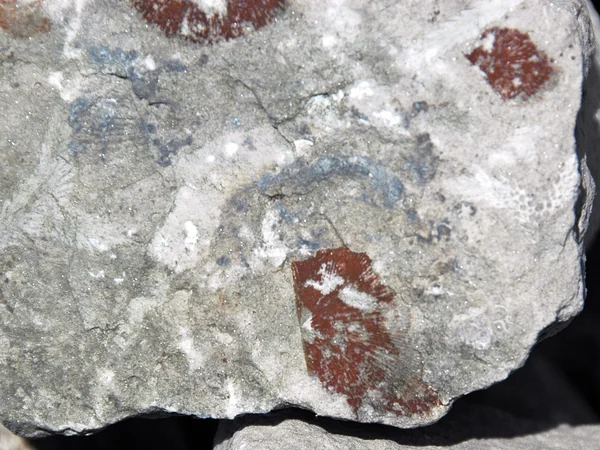
Marine fossils in limestone illustrate how some Himalayan summit rocks began as seabed sediment.
Fossils in Himalayan limestone support a marine origin for some sediments, but a fossil image should be identified by specimen and locality before being presented as coming from Everest itself. Rivers, glaciers, frost cracking and landslides remove material while tectonic forces create relief. The summit we see is the temporary result of both construction and erosion, not uplift alone.
That balance explains why “still rising” is an incomplete description of a changing mountain landscape. For travelers, geology explains the layered rock, steep valleys and active terrain visible around the mountain. Continue with verified measurements, names and route geography in the
Everest facts hub.