Your China & Yunnan Travel Experts


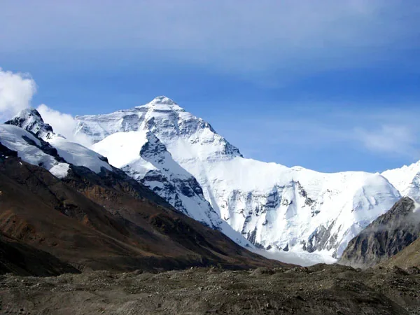
Qomolangma National Nature Reserve protects far more than the summit of Mount Everest. It spans a dramatic elevation gradient in southwest Tibet, linking high Himalayan ice, cold plateau, river valleys, shrubland and lower forest ecosystems. That range of habitats gives the reserve scientific and conservation importance while also placing firm limits on where tourism can occur. Visitors should treat it as a protected landscape first and a viewpoint second; the Mount Everest travel hub explains how the reserve fits into a north-side journey.
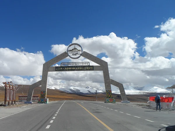
The reserve lies along Tibet's international frontier with Nepal and includes parts of the wider Qomolangma region. Older sources give boundaries and area figures that may reflect earlier management descriptions, so precise GIS limits should be checked against current reserve authorities rather than copied into a travel itinerary.
For travelers, the practical access corridor runs through Shigatse and Tingri toward designated areas around Rongbuk. The existence of a road or settlement inside the wider reserve does not imply unrestricted access to core conservation zones.
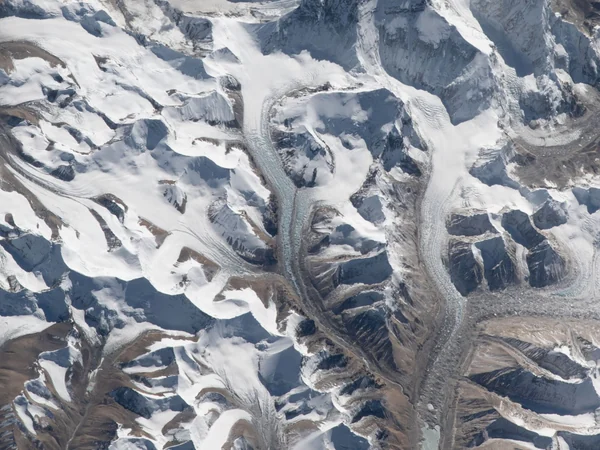
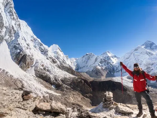
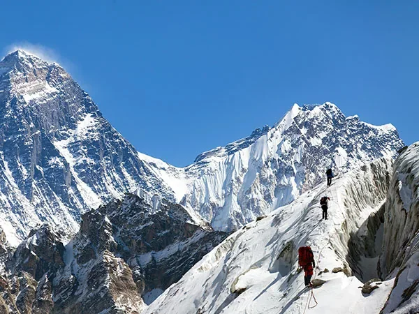
The region contains Mount Everest, Shishapangma and several other major Himalayan peaks. Elevation drops sharply southward into valleys influenced by the monsoon, creating ecological transitions over relatively short horizontal distances. Glaciers, permafrost, alpine terrain and river systems make the landscape both visually exceptional and environmentally fragile.
The northern approach used by most Tibet-side visitors is high, cold, dry and exposed. Conditions can change rapidly as local mountain weather interacts with the westerly jet stream and the South Asian monsoon.
Temperature varies enormously with elevation, season, wind and time of day. A single reserve-wide annual average cannot describe the summit, base-camp area and lower valleys together.
Solar radiation can be intense even when the air feels cold. Sunglasses, sun protection and covered skin matter alongside insulation.
Most moisture arrives during the warmer monsoon-influenced months, but snow and storms can occur outside them. Check the Everest climate guide before choosing dates.

Chinese nature reserves use functional zoning to balance strict conservation, research, community life and permitted public activities. Names and boundaries can be revised, so the categories below should guide behavior rather than serve as a legal map.
Core zones receive the strongest protection and are not ordinary sightseeing areas. They safeguard representative ecosystems, wildlife habitat, watersheds and sites valuable for long-term scientific monitoring.
The reserve includes both high, semi-arid northern Himalayan landscapes and more humid ecosystems toward the southern slopes and valleys.
Sensitive mountain and glacier environments require controls on access, waste, construction and disturbance.
Buffer or experimental zones support controlled research, monitoring and other activities compatible with protection. Visitors should not enter a restricted area simply because no fence is visible; follow the guide, signs and current permit conditions.
The surrounding
community and permitted-use areas include settlements and infrastructure where local livelihoods and regulated services can operate. Tourism is concentrated in managed corridors so that essential access, community benefit and ecological protection can be coordinated.
Tingri and nearby towns function as logistical gateways, but they remain high-altitude communities rather than resort centers. Respect private land, religious sites and local waste rules.
Biodiversity changes with elevation. Lower and more humid habitats support forest and a wider range of plants, while alpine meadows, shrublands and cold desert dominate higher areas. Species inventories evolve as surveys and taxonomy improve, so old exact totals should not be treated as permanent.
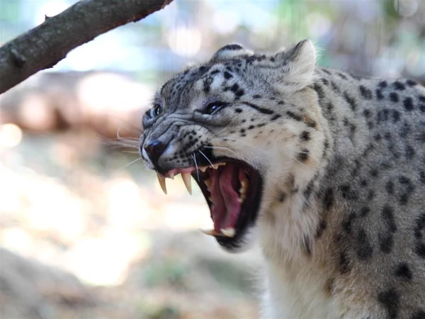
The wider region supports nationally protected wildlife, including snow leopard and black-necked crane, as well as blue sheep and other high-altitude species. Sightings are never guaranteed and vehicles should not pursue or crowd animals.
Plant communities stabilize slopes, support grazing systems and provide habitat. Picking wild plants, leaving marked roads or collecting geological material can damage a landscape that recovers slowly.
A responsible visit uses designated toilets, carries out litter, limits single-use packaging and avoids disturbing wildlife or prayer sites. For a wider conservation-oriented itinerary, connect the reserve with the Tibet travel collection rather than attempting independent backcountry access.
From $ 1637
From $ 3179
Editorial accountability
Hu Lei, CEO. The named owner is responsible for travel-planning accuracy and escalation of time-sensitive checks.
Yuntian Travel (Yunnan) Group is identified in its corporate profile as a licensed professional inbound travel service provider based in Kunming, China. Registration and travel-service documents can be requested before booking.
Page-specific references where cited, official destination, transport and entry notices, YUNSKY route-planning records, and direct provider confirmation before a booking is finalized.
Content is reviewed when rules, transport, access, pricing or route conditions change. Final availability and operating details are reconfirmed for each traveler’s dates.
Quality review: Page updated: