The Qinghai–Tibet Railway links Xining and Lhasa across the Qinghai–Tibet Plateau. Its engineering significance comes from high elevation, permafrost, fragile habitat and long-distance operations, not from a permanent promise that every train, station or onboard service remains unchanged. Passenger planning belongs in the
Qinghai–Tibet train guide. Reviewed August 29, 2026.
The route begins at Xining
and reaches Lhasa after passing Golmud, Hoh Xil, the Tanggula corridor and northern Tibet. The full Xining–Lhasa alignment is about 1,956 kilometres. Through trains may originate in other cities, but service days, boarding points and ticket availability must be checked for the actual date.
Qinghai–Tibet Railway: Verified Planning Facts
• Service: Passenger and freight railway; not every station handles passengers.
• Construction milestones:
Xining–Golmud opened in stages and was completed in 1984; the Golmud–Lhasa section opened for service on July 1, 2006.
Second-stage Project: July 1, 2006, Golmud-Lhasa
• Route length: Approximately 1,956 km from Xining to Lhasa.
• Station count: Historical sources count many operational, technical and unstaffed stations. Do not use the total as a passenger-stop list.
• Main passenger hubs: Xining, Golmud, Nagqu and Lhasa, with additional stops depending on the service.
• Operator and timetable: China Railway operations; verify the current train number, origin, boarding station and stop pattern through the official ticketing channel.
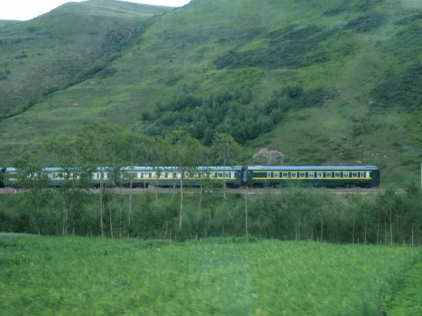
From Xining the line crosses the northeastern plateau toward Golmud, then climbs onto the highest section before descending through Nagqu and the Lhasa River valley. The railway is an access corridor, not automatic authorization to enter Tibet: foreign travelers must coordinate permits and itinerary details before ticketing.
The track reaches about 5,072 metres near Tanggula and runs for long distances above 4,000 metres. Low oxygen affects passengers even though the train uses plateau-adapted cars. Oxygen systems support safety but do not replace gradual acclimatization or medical judgment.
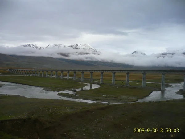
Permafrost, thermal movement, wind, ultraviolet exposure and remote maintenance shaped the design. Engineering measures include bridges, treated embankments, ventilation or cooling approaches, monitoring and protected wildlife crossings. These systems require continuing inspection as ground temperature and water conditions change.
Construction-era totals for investment, open stations, bridge counts or “world records” should be dated rather than repeated as live planning data. For the engineering chronology, use the Qinghai–Tibet Railway project guide.
Engineering Features and Record Claims
• High-altitude alignment
The line's high point is near Tanggula at about 5,072 metres. Elevation is an operational constraint, not a sightseeing guarantee: poor weather or darkness may hide the landscape.
• Fenghuoshan Tunnel
The tunnel crosses high permafrost terrain. Historical superlatives should be understood in the context of its 2006 opening rather than assumed to remain globally current.
• Kunlun Mountain Tunnel
This tunnel was an important plateau-permafrost engineering work. Length and elevation are stable physical data; rankings can change as new infrastructure opens.
• Qingshui River Bridge
The long bridge section helps reduce direct disturbance to permafrost and wildlife habitat in the Hoh Xil region. Passengers should not interpret a rail crossing as permission to enter protected land.
• Remote bridge operations
Bridge and embankment designs respond to cold, settlement and drainage rather than a single promotional record.
Passenger Stations: What Matters
Railway infrastructure maps show many stations, sidings and technical points. A passenger needs the train's booked stop pattern, not the complete engineering inventory.
Core planning hubs are Xining for plateau entry and connections, Golmud before the highest section, Nagqu for northern Tibet services, and Lhasa as the principal terminal. Some named stations in historical lists are closed, freight-only, unstaffed or bypassed by a particular train. Check the station guide and verification rules before arranging a transfer.
Lhasa Railway Station
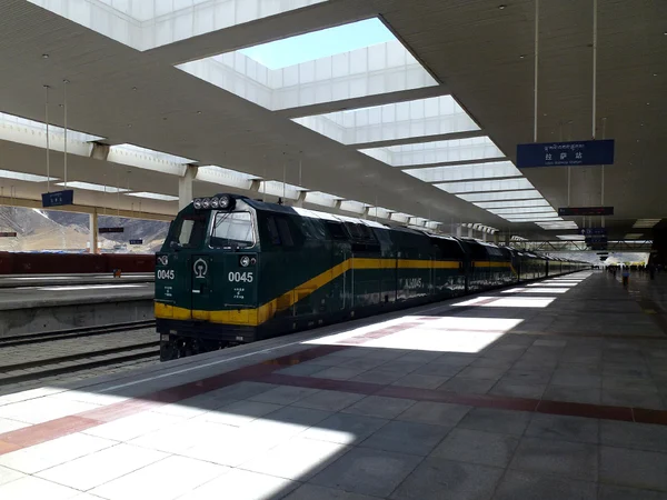
Lhasa station lies south of the river in the Liuwu area at roughly 3,650 metres. Arrival still involves high-altitude exposure. Keep the first day light, pre-arrange the approved pickup and keep passport, permit and ticket details consistent.
Landscapes Seen from the Train
Tanggula corridor
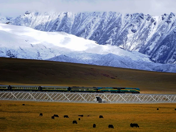
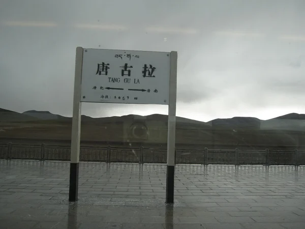
Approaching the Tanggula corridor, the train crosses rolling high terrain rather than one dramatic summit view. Snow cover, cloud, season and the assigned side of the carriage determine what is visible. Views remain weather-dependent throughout the highest section.
Tongtian and upper Yangtze headwaters
Passing Tongtian River Bridge, the train reaches broad headwater wetlands and river terraces. Window views are brief and distant. Reflections and speed make photography uncertain; do not block aisles while trying to capture them.
Nagqu grasslands
South of Tanggula, the train enters the northern Tibet plateau around Nagqu. Pastoral land and wetlands are inhabited working landscapes. Avoid language that treats them as empty wilderness, and do not promise wildlife sightings.
Namtso region
After Nagqu, the line crosses highland wetlands and approaches Damxung, east of Namtso. The railway does not provide a close shoreline visit to the lake. Visibility depends on route position, weather and daylight.
Nyenchen Tanglha
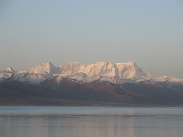
The corridor runs beside the Nyenchen Tanglha range. Mountain views can appear west of the corridor, but exact peaks are difficult to identify without location data and clear weather.
Yangbajing and Lhasa valley
As elevation gradually falls toward Lhasa, settlements, river terraces and vegetation become more visible. Use scenery as context, not a guarantee when selecting a train.

 Ask a Question