The Sichuan–Tibet road corridors connect
Sichuan with
Tibet through some of China's steepest and most geologically active terrain. They are not one simple highway and should be distinguished from the
Qinghai–Tibet Highway. The southern corridor largely follows G318 through Kangding, Litang, Mangkang, Nyingchi and Lhasa; northern approaches use G317 and related roads through places such as Garze, Dege and Chamdo. Current routing changes with tunnels, bridges, reconstruction and traffic controls. Reviewed August 29, 2026.
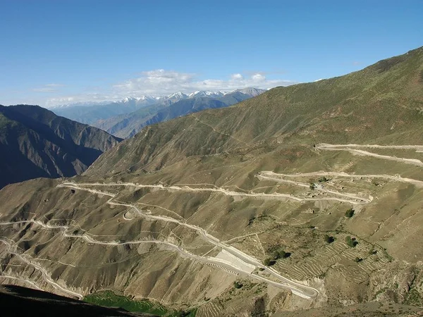
From
Chengdu the route climbs west through
Sichuan before crossing major river valleys and entering eastern Tibet.
Lhasa is the long-distance endpoint for many itineraries, but safe travel requires multiple stages, acclimatization nights and weather contingency.
Historic distance figures around 2,100–2,400 kilometres vary by branch and later realignment. Do not calculate an arrival time from an old total: landslides, maintenance, checkpoints, livestock, convoys and altitude can alter a day's progress.
The northern and southern corridors diverge before eastern Tibet and serve different cultural regions. A licensed operator should confirm which roads are permitted for the travelers, vehicle and season.
Sichuan–Tibet Highway Planning Facts
|
Route type
|
Long mountain-road corridors with changing alignments
|
|
Initial construction
|
Early 1950s; extensive later upgrades
|
|
Historic distance range
|
Approximately 2,100–2,400 km depending on corridor
|
|
Elevation pattern
|
Repeated high passes and deep valleys; no useful single average
|
|
Starting hub
|
Chengdu
|
|
Common western endpoint
|
Lhasa
|
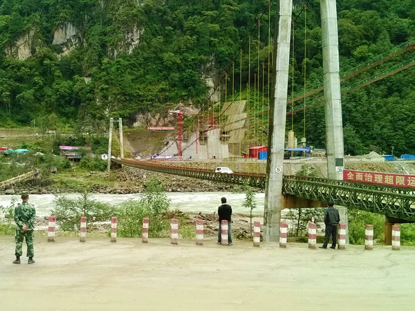
Construction, Upgrades and Geological Risk
The first motor-road construction in the early 1950s was carried out under extremely difficult conditions and is commemorated in official road history. Exact casualty totals vary across publications and should be sourced rather than repeated as a dramatic slogan.
Maintenance never “stopped the road” as one simple event. Earthquakes, freeze–thaw, rockfall, debris flow and monsoon landslides have required continual repair, diversion, tunneling and bridge replacement.
Modern tunnels and bridges may shorten dangerous pass sections, so a historic itinerary or elevation table can become obsolete even when the route name remains.
Before departure, obtain an operator's route-specific road bulletin and build delay days. A newly paved surface does not remove altitude, fatigue or geohazard exposure.
Southern Corridor: G318 Route Logic
The commonly traveled southern route links Chengdu, Ya'an, Kangding, Litang and Batang before entering Tibet near Mangkang, then continues through Zogang, Baxoi, Ranwu, Bomi, Nyingchi and Lhasa. New bypasses mean the exact town sequence and mileage can change.
This corridor crosses the Dadu, Yalong, Jinsha, Lancang and Nu river systems. The scenery is varied, but the same steep valleys that create dramatic views also produce landslide and road-closure risk. Avoid night driving and keep daily stages conservative.
Northern Corridor: G317 and Chamdo
Northern approaches cross higher, less densely settled cultural regions and generally demand more time. They should not be sold as automatically “more original” or as open wilderness.
Smaller northern branch: routes toward Garze and Dege before entering the Chamdo region; current permitted alignment must be confirmed.
Larger northern approach: can use roads through Aba-area hubs and Chamdo, depending on the itinerary and controls.
Services, fuel, rescue and accommodation are uneven. Foreign visitors must not assume every northern county is open simply because a map shows a through road.
Landscape Stops and Their Limits
The famous switchback views sit in terrain vulnerable to traffic control and rockfall. Stop only at legal pull-offs; never stand in the carriageway or launch a drone near bridges or checkpoints.
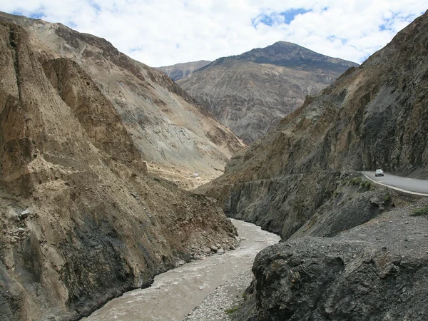
Road elevation and weather can change abruptly near the pass area. Tunnels or closures may alter which viewpoint is accessible.
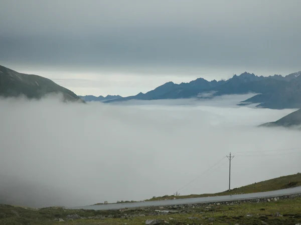
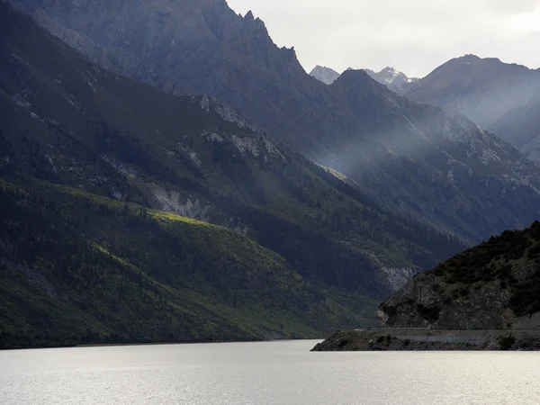
Lake color and shoreline appearance change with sediment and season. Rain, snow and landslide conditions matter more than an edited turquoise photograph.
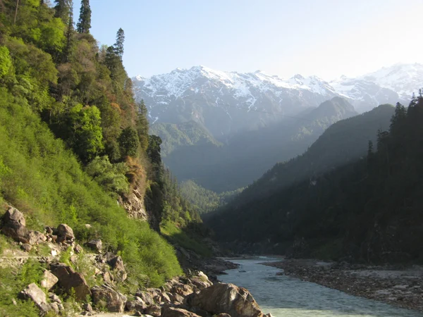
The greener southeastern valleys are still high altitude and can receive intense rain. Allow time for road checks and local access rules.
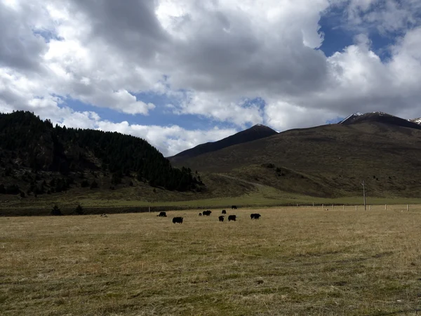
- Manigango and Dege region
These are inhabited cultural landscapes with monasteries, grazing and local traffic, not remote props for an expedition narrative.
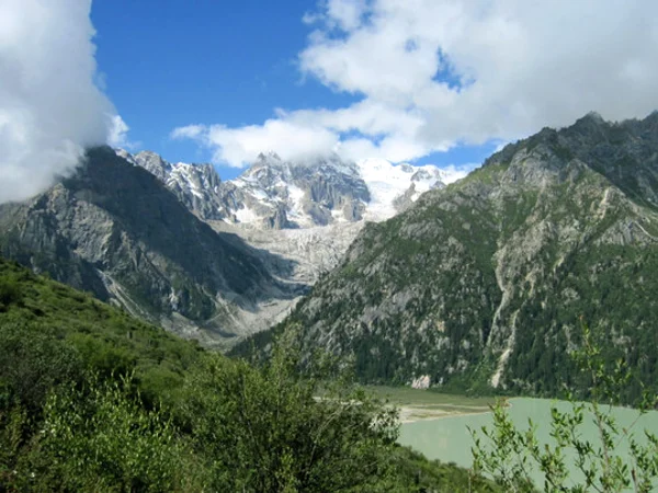
Modern route changes may avoid older pass roads. Do not quote a summit elevation as the vehicle's current road elevation without verifying the alignment.
Seven Safety Rules for a Sichuan–Tibet Road Journey
1. Travel with a licensed operator and roadworthy vehicle; foreign visitors should not plan an informal rental-car crossing.
2. Ascend gradually, keep the first high nights light and stop ascending if altitude symptoms worsen.
4. Secure the
required Tibet permits before ticketing or vehicle commitment. Do not rely on Rhodiola or supplemental oxygen to justify a faster ascent. Carry layered clothing, food, water and communications backup, but seek urgent descent and medical help for confusion, loss of coordination or breathlessness at rest.

