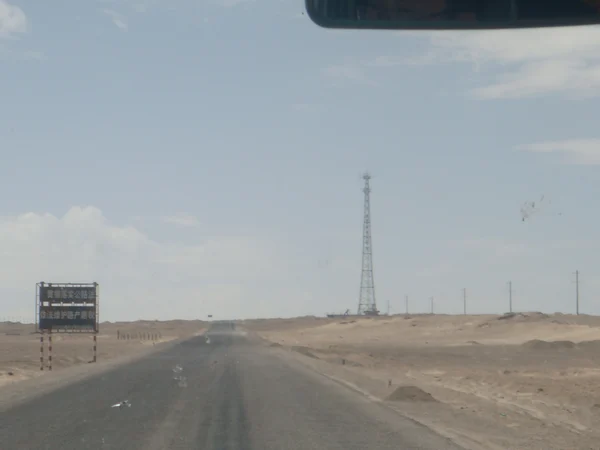
The Qinghai–Tibet Highway links
Xining and Golmud with
Lhasa through the high plateau corridor commonly associated with National Highway G109. It is an essential transport route, but “open all year” does not mean free of closures, construction, snow, flooding, wildlife or permafrost damage. Nor is it automatically the safest choice for every foreign traveler. Reviewed August 29, 2026.
The Xining–Lhasa corridor is often quoted at roughly 1,900 kilometres, while the critical Golmud–Lhasa section is about 1,100 kilometres. Distances vary with the endpoints and modern alignments used. Compare the terrain and risk with the Sichuan–Tibet Highway before choosing a route; superlatives do not replace a segment-by-segment plan.
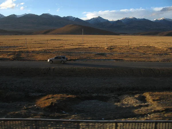
Qinghai–Tibet Highway at a Glance
|
Route
|
Xining – Golmud – Tanggula corridor – Nagqu – Lhasa
|
|
Historic construction
|
Golmud–Lhasa work began in 1954 and the road reached Lhasa that year
|
|
Planning distance
|
About 1,900 km from Xining; about 1,100 km from Golmud
|
|
Elevation profile
|
Long sections above 4,000 m with passes above 5,000 m
|
|
Primary road number
|
G109 on the Qinghai–Tibet corridor
|
|
Traveler endpoint
|
Lhasa, with permits and licensed arrangements confirmed in advance
|
Construction, Maintenance and Permafrost
The modern route grew from the Golmud–Lhasa road built in 1954, then underwent repeated widening, realignment and paving. The Xining–Golmud approach and Golmud–Lhasa plateau road are different travel environments; treating them as one unbroken scenic drive hides major changes in altitude and services.
North of the Tibetan Plateau, the corridor passes the Qaidam Basin before crossing the Kunlun, Hoh Xil, Tuotuo River and Tanggula areas. The road and the railway often run near each other, but access points, settlements and emergency options are not interchangeable.
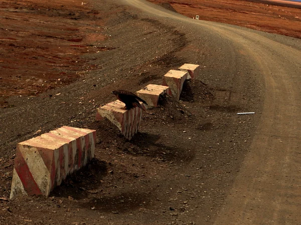
Permafrost thaws and refreezes seasonally, which can deform roadbeds. Engineers use monitoring, insulation, drainage and recurring maintenance rather than relying on one permanent 1950s design. Weather and construction notices therefore matter even in the nominal travel season.
Large-scale reconstruction from the 1970s onward improved alignment and surfacing, and upgrades continue. Historical length, bridge-count and speed figures copied from one edition should not be presented as live operating rules. The
Qinghai–Tibet Railway overview explains how the parallel rail corridor handles the same altitude and frozen-ground constraints differently.
Why the Highway Matters
The highway has carried passengers, fuel, food, construction materials and other freight between Qinghai and Tibet for decades, earning its “lifeline” description. Its significance is economic and social as well as scenic. Heavy trucks, maintenance teams and local traffic have operational priority over a visitor's photography stop.
Avoid repeating fixed freight percentages without a dated statistical source. Rail, air and road capacity have all changed. A more reliable conclusion is that G109 remains a major corridor whose closures affect supplies and mobility well beyond tourism.
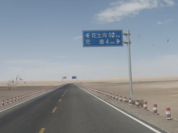
What Travelers See Along the Route
The landscape changes in stages rather than as a continuous highlight reel:
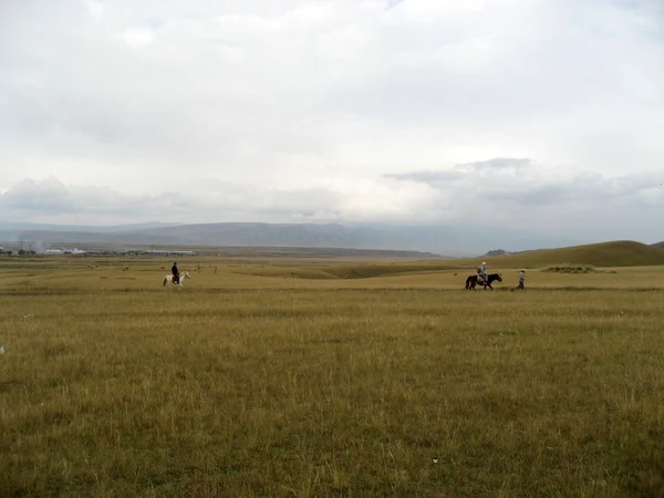
- Qinghai Lake area — high grassland and lake views on the broader approach; use legal pull-offs and respect fenced grazing land.
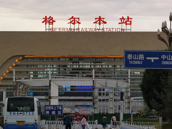
- Qaidam and Golmud — an arid basin, transport hub and practical place to check vehicles, oxygen plans and weather before the highest section. Hoh Xil and the Tanggula corridor — protected habitat, permafrost terrain and extreme altitude. Never chase wildlife, leave the roadway in restricted areas or feed animals.
- Nagqu to Lhasa — broad grassland, railway crossings and increasing settlement; photography stops still require safe, legal pull-offs and local permission where posted.
Safety, Permits and Realistic Timing
- Do not use this highway as a one-day Golmud–Lhasa endurance drive. The altitude gain, night driving, fatigue, trucks, livestock and limited rescue access compound one another. Build conservative stages with a licensed operator, alternate drivers and daylight margins; a planned overnight must be based on current lodging and permit eligibility, not an old place-name list.
- Conditions can include sub-zero nights, wind, intense ultraviolet exposure, rain, snow and roadwork in any nominal season. Carry layered clothing, water, food and a communications plan, but do not use supplemental oxygen to justify a faster ascent. People with symptoms should stop ascending; confusion, loss of coordination or breathlessness at rest requires urgent descent and medical care.
- Foreign visitors cannot assume that an international driving permit, rental car or private vehicle is sufficient. Tibet permits, an approved itinerary, licensed guide and vehicle arrangements may apply, while military, border and protected areas can restrict stopping or photography.
- Before departure, verify the route with local transport authorities and the operator, inspect tires and brakes, identify fuel and medical options, and keep a weather-delay day. Travelers who need a faster arrival should compare the main Tibet airports rather than forcing an unsafe road schedule.