Your China & Yunnan Travel Experts

Yunnan altitude varies between regions and between a town and its nearby excursions. For planning, record three different things: the elevation where you sleep, the highest point you intend to reach and the walking involved in getting there. A single provincial average or mountain-summit figure does not answer those questions.
The comparison below uses broad orientation bands supported by the site's existing destination descriptions and supplied reference material. Those descriptions use different reference points, so the bands are intentionally not exact hotel measurements. This article explains route geography, not individual medical suitability.
| Base | Broad elevation context | How to use the information |
|---|---|---|
| Kunming | Around 1,900 meters in common city descriptions | Obtain the location of the actual hotel and any higher outing |
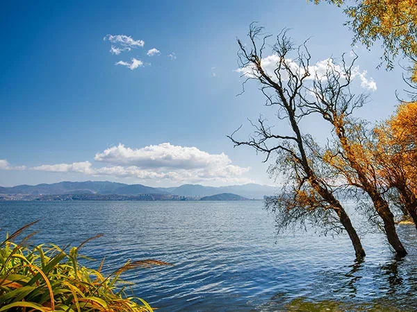
| Dali area | Around 2,000 meters, with differences between town and lakeside points | Do not use a Cangshan summit figure as the hotel elevation |
| Lijiang area | A town and regional setting above 2,000 meters; the broad city label is not one measured point | Ask for the actual overnight and excursion elevations |
| Shangri-La area | Above 3,000 meters; published town and wider-area descriptions use different figures | Establish the precise hotel and daily route rather than relying on one regional average |
The deliberately broad Lijiang and Shangri-La descriptions avoid false precision where reference points differ. When exact elevation affects your planning, request a location-specific value from the accommodation or route provider. Do not use these bands as thresholds of safety.
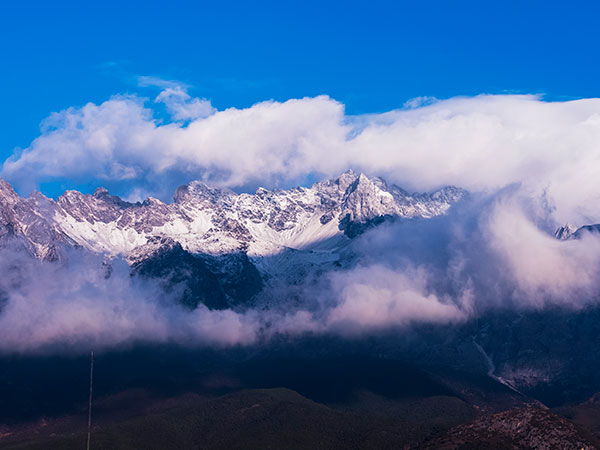
A stay in Lijiang does not describe the altitude of a Jade Dragon Snow Mountain excursion. The mountain's summit, a cable-car station and the highest point on a visitor walkway are different places. An itinerary should identify which one is relevant to the booked experience.
Likewise, Dali and a chosen Cangshan route can involve different settings. Transport may shorten the approach without removing the elevation difference or the walking after arrival. Ask for the full route rather than a reassuring summary such as “only a cable car.”
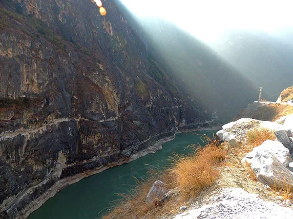
For Tiger Leaping Gorge, the river, visitor viewpoints, high trail and surrounding summits should not be treated as one altitude. The selected walking section matters more than the most dramatic number associated with the landscape.
Create a row for every night, then add the highest planned point on each day. Include the journey from the previous base and the amount of walking. This reveals a high excursion hidden inside a day otherwise described as a city stay.
| Planning field | Example of the detail to request |
|---|---|
| Overnight location | The exact property and its elevation reference |
| Outing high point | The highest location actually included, not the mountain summit |
| Physical demand | Walking distance, ascent, steps and surface |
| Change option | A practical alternative if the selected outing is unsuitable or unavailable |
The map provides horizontal orientation; this profile adds the vertical dimension. The transport guide helps make the travel portions visible as well.
A Kunming-Dali-Lijiang route with town and lake activities is different from the same route with a high mountain excursion. Adding Shangri-La changes the overnight pattern again. Treat each as a distinct proposal when discussing the trip.
A traveler who prefers to avoid the higher extension can still build a worthwhile route around cultural visits, food and selected lower outings. That preference does not mean that every remaining activity is medically suitable; it simply narrows the geographic options to investigate.
If individual health considerations influence the decision, discuss the exact route profile with a qualified clinician before committing. A tour provider can supply geographic and logistical details, but a booking, a cable car or a stated number of nights does not provide personal medical clearance.
Consult the climate guide for each region and check the actual forecast for the outing. Clothing suitable for a town afternoon may not match a higher visitor area. Ask about room temperature control and bedding when choosing accommodation in a different overnight setting.
For families and mixed-interest groups, choose the activities everyone actually wants and establish how an outing could be shortened or replaced. A non-participant needs a practical plan, not simply an instruction to wait somewhere unspecified.
The hiking guide explains additional route measures such as ascent, footing and exposure. Altitude is one part of the description; a low numerical figure does not establish that a walk is easy.
Do not compare an airport elevation with a mountain summit and call the result a city-to-city difference. Do not assume that a broad district average is the height of every hotel. Do not treat a gradual-looking route as a guarantee of how an individual will feel.
For costs and bookings, clarify the terms for changing a selected excursion. The budget guide helps compare the exact components and exclusions. Choosing flexibility does not mean that every alternative will be available or free to substitute.
The province has varied terrain, from higher northwestern settings to lower southern valleys. Use the actual overnight places and outings rather than one provincial description.
They may refer to different town points, airports, districts or wider-area averages. Ask which location was measured before treating the number as your hotel elevation.
No. Visitor routes, transport stations and summits are distinct. Ask for the highest point actually included in the selected itinerary.
No general claim is justified. Elevation, walking and individual circumstances matter. Obtain route details and seek individualized professional advice when health considerations are relevant.
Yes. A route focused on towns, lakes and culture can be meaningful without that extension. Choose the experiences that fit your interests and circumstances.
Ask for each overnight elevation, the highest daily point, walking demands, transport and practical change options. Keep the exact place names so the information can be assessed accurately.
Read the Yunnan itinerary guide and classic route ideas with the overnight and excursion settings in mind. To compare alternatives, request a Yunnan plan showing the exact bases and mountain activities you are considering.
Editorial accountability
Hu Lei, CEO. The named owner is responsible for travel-planning accuracy and escalation of time-sensitive checks.
Yuntian Travel (Yunnan) Group is identified in its corporate profile as a licensed professional inbound travel service provider based in Kunming, China. Registration and travel-service documents can be requested before booking.
Page-specific references where cited, official destination, transport and entry notices, YUNSKY route-planning records, and direct provider confirmation before a booking is finalized.
Content is reviewed when rules, transport, access, pricing or route conditions change. Final availability and operating details are reconfirmed for each traveler’s dates.
Quality review: Page updated: