The most dramatic canyons in China are spread across the Himalaya, Hengduan Mountains, Tianshan, Dadu River corridor and Taihang range. They differ in geology, climate and accessibility; “primitive” is neither a measurable ranking nor a respectful description of inhabited landscapes. This editorial comparison focuses on what a traveller can actually experience and places each landform within China's broader
geography.
A canyon shown on a map is not automatically an open hiking route. Seasonal rain, snow, rockfall, wildfire controls, road works and protected-area limits can close paths with little notice. Check the exact scenic area, entrance and transport arrangement. Several famous gorges extend far beyond their managed viewpoints, and a ticket to one developed section does not grant access to the entire canyon.
1. Yarlung Tsangpo Grand Canyon, Tibet
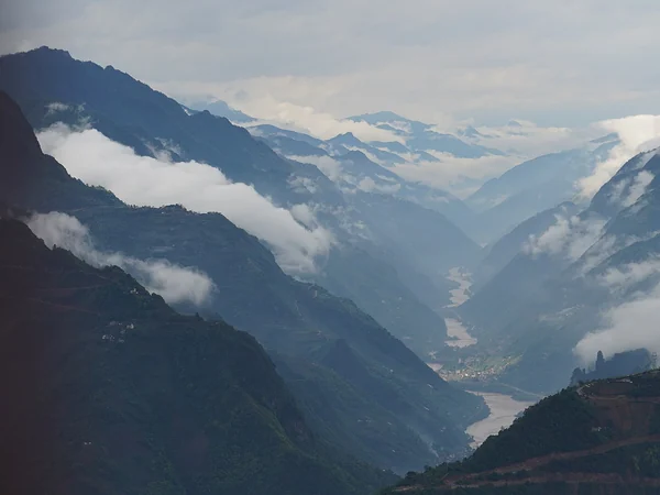
The Yarlung Tsangpo makes its immense bend around the Namcha Barwa massif in southeastern Tibet. Chinese official sources use a length of about 504.6 kilometres and a maximum depth of about 6,009 metres for the greater canyon system. Those figures describe a vast geographic feature, not a single trail or viewpoint. For ordinary visitors, “Yarlung Tsangpo Grand Canyon” usually means a managed scenic route in Nyingchi with views toward river bends, forested slopes and—when clouds cooperate—Namcha Barwa.
The landscape rises through exceptional vertical relief, so vegetation and weather can change sharply over short horizontal distances. Do not advertise it as untouched wilderness. Monpa and Lhoba communities and other residents have long histories in the region, while roads, villages and protected areas shape today's visitor experience. Ask before photographing people, homes or religious spaces.
A realistic
Tibet itinerary needs altitude acclimatization, the current travel documentation for international visitors and flexible time for weather. A roadside panorama is feasible for many travellers; a self-planned descent into remote terrain is a different expedition and should not be implied by a scenic-area ticket.
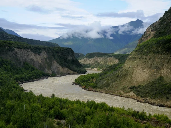
2. Nujiang Grand Canyon, Yunnan
The upper Salween, called the Nu Jiang in China, runs through
northwestern Yunnan between steep Hengduan ranges.
UNESCO's Three Parallel Rivers property protects selected clusters in a region where the Nu, Lancang and Jinsha rivers run roughly parallel through gorges that can reach about 3,000 metres in depth. The rivers themselves often lie outside the inscribed component boundaries, so “inside a UNESCO site” should be checked location by location rather than used for the whole road corridor.
This is a journey through an inhabited valley, not one fenced attraction. Towns, suspension bridges, fields, churches, temples and villages give the canyon human scale, while snow peaks and tributary valleys create the larger frame. Ethnic labels should never be used as scenery; communities differ by place and should describe themselves.
Road conditions and seasonal landslide risk determine the pace. Build spare time into a northwestern Yunnan route, use locally current transport advice and avoid promising a fixed “best viewpoint.” UNESCO also identifies tourism development and adjacent human activity as management pressures, so marked access and local conservation rules matter.
3. Kuqa Grand Canyon, Xinjiang
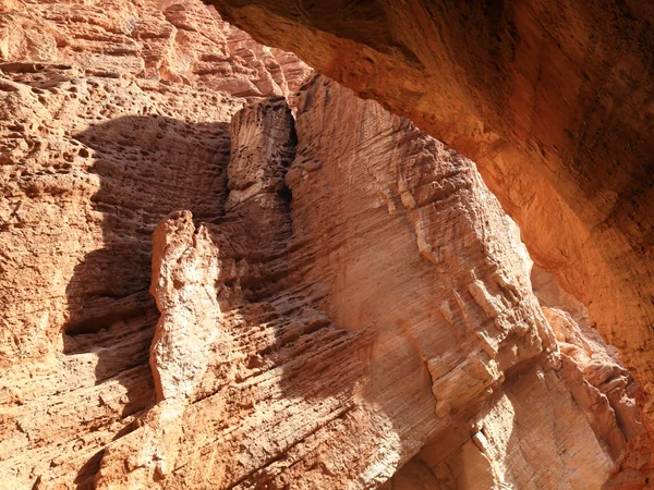
The red-walled gorge north of Kuqa is commonly marketed as the Tianshan Mysterious Grand Canyon or Kuqa Grand Canyon. It belongs to the Kuqa Grand Canyon National Geopark landscape and is reached from the Duku Highway corridor. Narrow passages, tilted sedimentary layers and warm-toned walls—not a claim to be China's deepest canyon—are its visual strengths.
Visitors normally walk an out-and-back route on the canyon floor. Rain upstream can make a narrow gorge dangerous even under a clear sky, and the seasonal opening of the Duku Highway is not guaranteed by a calendar date. Confirm same-day weather and access with the official scenic-area channel; wear shoes that handle sand, gravel and shallow water rather than treating it as a paved photo stop.
4. Dadu River Jinkou Grand Canyon, Sichuan
Jinkou Grand Canyon is cut by the Dadu River west of Leshan, with cliffs, side valleys, transport infrastructure and settlements sharing a confined corridor. The visitor experience is therefore linear: viewpoints, roads, rail heritage and short local walks reveal different pieces, while the full gorge is not one continuous public footpath.
Older promotional copy compares the gorge with the Grand Canyon in the United States and stacks several “longest” or “deepest” claims. Those comparisons depend on where boundaries and depth are measured, so they are not a sound reason to visit. The more distinctive story is how a major river, resistant rock and human transport routes occupy the same tight space.
Check which bank and township an itinerary uses, and do not improvise on railway property, tunnels or unmarked cliff paths. River conditions, construction and local controls can change access. A wider Leshan stay makes sense if the canyon is paired with regional history or mountain scenery rather than forced into a rushed day.
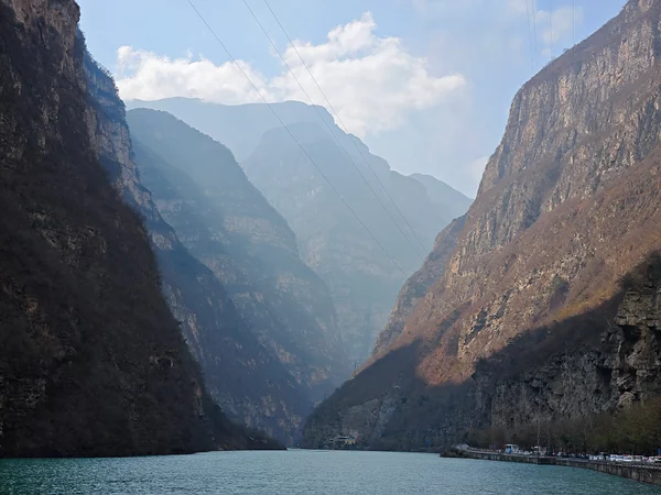
5. Huguan Taihang Grand Canyon, Shanxi
In Huguan County near Changzhi, the managed Taihang Grand Canyon destination links several named areas, including the 5A-rated Baquan Gorge as well as Qinglong and Hongdou gorges. Cliffs, forest, streams and waterfalls create a greener and more developed experience than the high Tibetan canyon or the arid slot gorge near Kuqa. The name “Taihang Grand Canyon” is also used for sites elsewhere in the range, so bookings should specify Huguan, Shanxi.
Baquan Gorge uses a combination of walking, shuttle transport and, depending on the selected product and current operation, boats, lifts or cableways. A headline ticket may not include every transport segment. Official notices in 2026 continued to separate first-entry admission from secondary transport charges, which is a useful reminder to check the current package rather than quote a stale total.
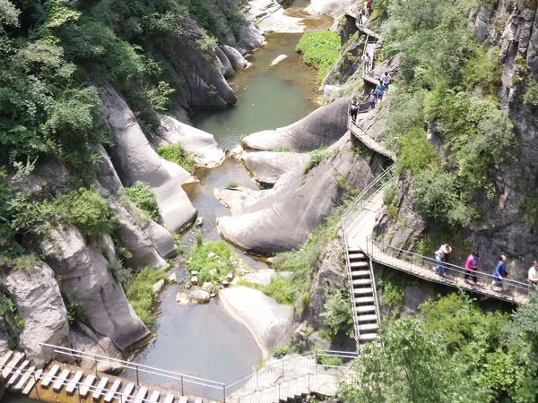
Choose this canyon for an organized scenic day with infrastructure, not for solitude. Weekends and public holidays can concentrate visitors at transport nodes. Start early, keep a weather fallback and confirm which sub-area is open; one canyon closure does not necessarily describe the whole Huguan complex.