Your China & Yunnan Travel Experts



River-length lists require caution: a system's measured source, named main stem, national segment and cross-border continuation can produce different totals. This page retains ten familiar river sections but shifts the emphasis to drainage basins, landscapes and realistic ways a traveler encounters each river. A river may be seen from a cruise, an urban waterfront, a gorge road, a wetland or an oasis corridor; those experiences are not interchangeable. Continue planning with the map of China's rivers.

Yangtze River Conditions matter as much as scenery. Water level, fog and navigation schedules affect the experience. Choose one realistic river segment before selecting transport. The Yangtze crosses China from the Tibetan Plateau to the East China Sea and links mountain headwaters, the Three Gorges, major cities and a broad delta. Do not imply that one cruise represents the entire river system. Shanghai Three Gorges Three Gorges Dam
Recommended Tours: Yangtze River Tours

(Xiling Gorge along the Yangtze River course)
Use 2. Yellow River as a specific regional choice, not a checklist item. Hukou Waterfall, Lanzhou riverfront and selected cultural sites offer very different ways to understand it. Flow, sediment color, winter ice and waterfall conditions vary. Choose one regional encounter rather than trying to trace the whole river. Safety barriers and current scenic operations at Hukou must be followed. Qinghai Tibet
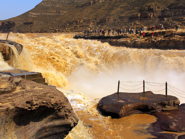
The Heilongjiang, known internationally as the Amur, forms long stretches of the China–Russia border before reaching the Pacific. It suits border-city, forest and cold-region landscape interest. Ice, severe winter temperatures and summer flooding shape travel. A scenic visit does not permit an international crossing outside an authorized checkpoint.
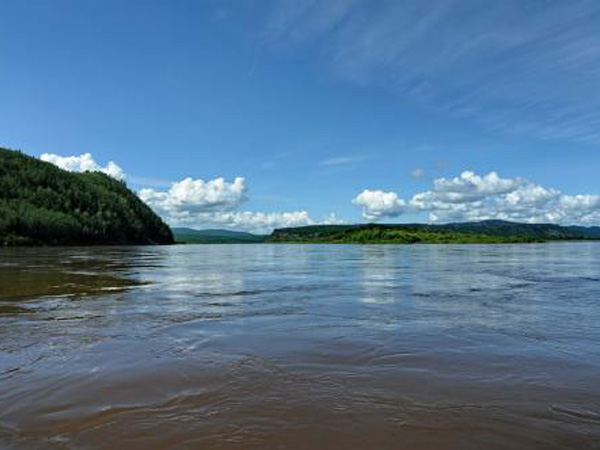
Pearl River For itinerary planning, Guangzhou evening cruises and urban waterfronts are the most accessible visitor experiences. Combine the river with Guangzhou's historic districts and modern delta geography. Rain, typhoons, heat and tidal conditions influence operations. The common total length depends on which headwater branch is counted, so avoid false precision. Guangzhou

The Yarlung Tsangpo flows across Tibet before turning south and continuing internationally as the Brahmaputra. The practical visitor decision is clear: Visitors normally see authorized sections near central Tibet or Nyingchi, not a continuous river expedition. Plan within current Tibet arrangements and choose a named viewpoint or valley. Chinese-course and whole-system lengths must not be mixed in one ranking. Continue planning with the Yangtze River travel guide. Tibet
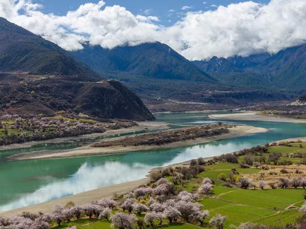
Conditions matter as much as scenery. Rain, road construction and landslides can disrupt mountain sectors. Dali, Shangri-La or Xishuangbanna routes reveal different parts of the basin. The Lancang is the upper Mekong within China, descending from the plateau through Yunnan before crossing international borders. Do not imply that border crossings or downstream navigation are automatically available. Tibet Yunnan Xishuangbanna Autonomous Prefecture
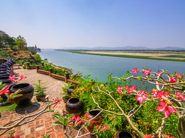
Use 7. Tarim River as a specific regional choice, not a checklist item. It is best understood from an established Xinjiang road and a protected poplar-forest or oasis site. Seasonal flow, heat, dust and ecological water management shape the landscape. Use Korla, Luntai or another defined gateway. Desert-edge roads and reserves do not authorize off-road travel into fragile riparian habitat. Xinjiang Uygur Autonomous Region Silk Road
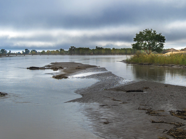
The Nu River descends through western Yunnan and continues internationally as the Salween. Its deep valleys and mountain communities reward a slow road itinerary rather than a quick river stop. Rain, landslides and long mountain transfers require flexibility. Cross-border continuation, rafting and remote tributary access require separate current confirmation. Tibet Yunnan
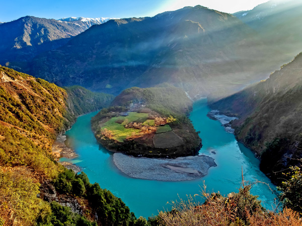
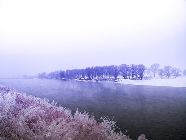
Songhuajiang River For itinerary planning, It suits border-city, forest and cold-region landscape interest. Use a lawful Chinese riverfront destination and current local transport. Ice, severe winter temperatures and summer flooding shape travel. A scenic visit does not permit an international crossing outside an authorized checkpoint.
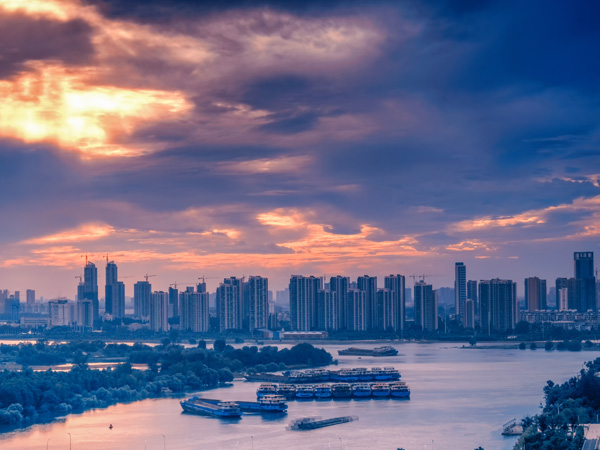
The Han is the Yangtze's longest tributary and passes through important landscapes and cities before joining the Yangtze at Wuhan. The practical visitor decision is clear: Wuhan offers a practical confluence and urban-waterfront perspective. Compare the river with other flowing-water landscapes only after identifying the relevant basin. The Shibaozhai image in the retained recommendation belongs to the Yangtze cruise context, not the Han River itself. Continue planning with the famous waterfalls in China. Yangtze River Wuhan
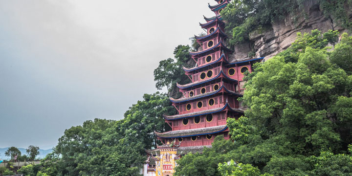
11 Days Best Yangtze River Cruise Tour
Beijin, Xian, Chongqing, Yangtze Cruise, Yichang, Shanghai