Your China & Yunnan Travel Experts



China's hiking options range from restored wall sections and rice-terrace paths to remote high-altitude circuits. These ten routes are not interchangeable: several are walks reached from major cities, while others require acclimatization, permits, local transport and contingency days. Use the comparison to shortlist a route, then verify trail status, weather, seasonal closures and local access shortly before departure. Continue planning with the famous mountains in China.
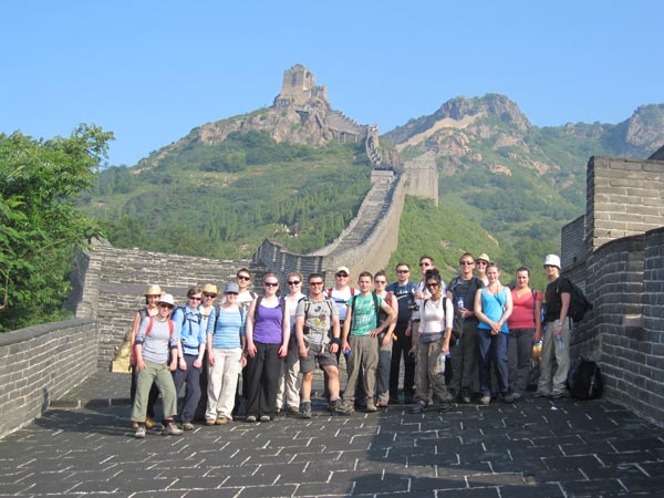
Open Great Wall sections combine steep stone steps, ridgelines and watchtowers within reach of Beijing. Choose a restored legal section and a distance that fits knee strength, heat or winter exposure. Conditions on Great Wall Hiking near Beijing vary with rain, heat, snow, altitude and local trail management. Use marked access, avoid closed wild sections and confirm transport and closing arrangements for the selected section. Great Wall of China Huangyaguan Great Wall Tianjin Jinshanling Great Wall


Huangyaguan Great Wall
Jinshanling Great Wall
Jinshanling Great Wall
• Recommended tour: 7 Days Beijing Great Wall Hiking Tour
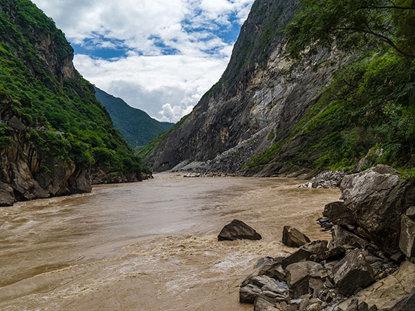
Tiger Leaping Gorge presents a high trail above a deep Jinsha River valley between steep mountain ranges. It suits fit hikers who can manage uneven terrain and simple mountain lodging over one or more days. Conditions on Tiger Leaping Gorge, Yunnan vary with rain, heat, snow, altitude and local trail management. Check landslide, rain and trail notices locally, carry water and do not confuse the upper trekking trail with roadside viewpoints. Tiger Leaping Gorge
Tiger Leaping Gorge
2 Days Tiger Leaping Gorge Hiking Group Tour
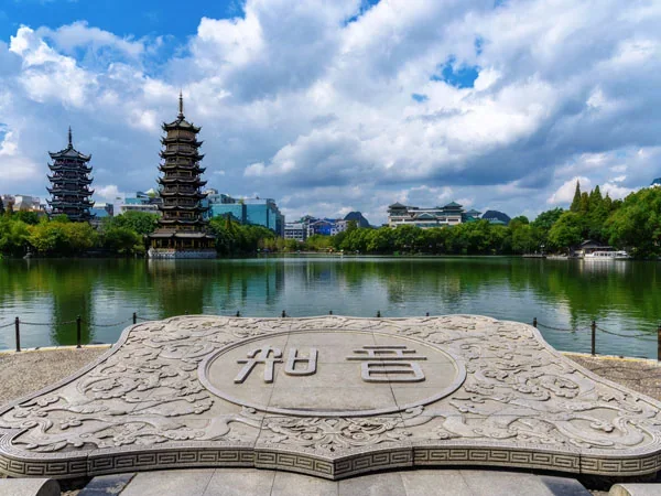
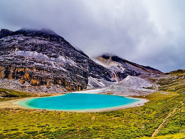
Walks near the Li River connect karst scenery, villages and cultivated land without requiring a high-altitude expedition. Choose a signed local section as a gentle landscape walk rather than claiming one continuous official long-distance trail. Conditions on Li River Countryside, Guilin vary with rain, heat, snow, altitude and local trail management. Protect against heat and rain, stay off crops and use a licensed boat or vehicle transfer where the route requires it. Li River Guilin
Guilin
• Recommended tour: 3 Days Guilin Essence Tour

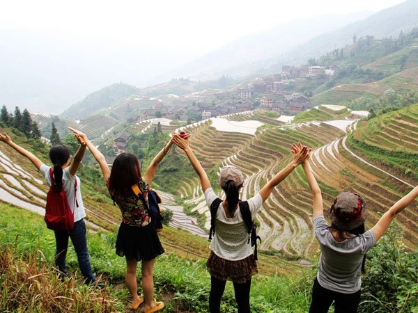
Longji paths climb between villages and cultivated terraces north of Guilin. They reward travelers interested in landscape and community life, but stone steps can be slippery and sustained. Conditions on Longji Rice Terrace Paths vary with rain, heat, snow, altitude and local trail management. Confirm the chosen village and trailhead, pack lightly and respect homes, fields and working agricultural paths. Continue planning with the Tiger Leaping Gorge guide.
Kanas offers forest, lake and mountain walks in a remote Altay setting with strong seasonal variation. Include it only within a wider Xinjiang plan with realistic road transfers, lodging and local access checks. Conditions on Kanas and Altay Trails vary with rain, heat, snow, altitude and local trail management. Prepare for rapid weather changes and confirm which boardwalks, shuttles and hiking areas are currently open.

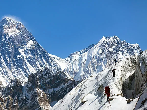
Siguniang Mountain Mount Siguniang's valleys provide day walks and more demanding trekking options at significant altitude. Choose a valley route for acclimatized walkers; technical or remote objectives require appropriate professional support. Conditions on Mount Siguniang, Sichuan vary with rain, heat, snow, altitude and local trail management. Ascend gradually, turn back for altitude symptoms and verify scenic-area transport, camping and trail controls.
• Recommended tour: 9 Days Western Sichuan Photo Tour

Daocheng Yading combines high-altitude valleys, sacred peaks, lakes and managed scenic transport. Its famous upper walks are physically demanding despite shuttle access, so they are unsuitable as a first day at altitude. Conditions on Daocheng Yading, Sichuan vary with rain, heat, snow, altitude and local trail management. Acclimatize, keep the schedule flexible and confirm the open route, weather and last return transport.
The Three Gorges region is primarily a river corridor, with separate shore excursions, town walks and mountain paths. Select a named local trail or cruise excursion rather than presenting the entire gorge system as one hike. Conditions on Three Gorges Walking Options vary with rain, heat, snow, altitude and local trail management. Verify landing, return transport and seasonal navigation because access differs by vessel, bank and water conditions. Yangtze River.
• Recommended tours : Yangtze River Packages

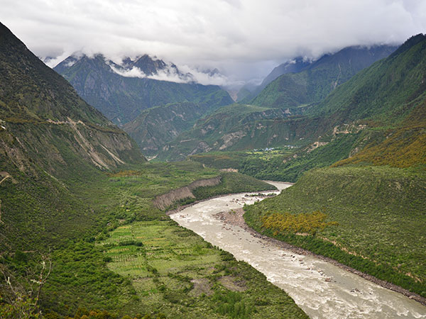
Southeastern Tibet contains deep gorges, forested slopes and extremely complex road and weather conditions. This is a remote expedition region, not a casual extension from Lhasa, and independent access may be restricted. Conditions on Medog and Yarlung Tsangpo Region vary with rain, heat, snow, altitude and local trail management. Use current authorized arrangements, allow contingency days and do not promise a specific trail when local controls can change. Continue planning with the Great Wall hiking tour.
• Recommended tours : Explore Tibet Tours
Editorial accountability
Hu Lei, CEO. The named owner is responsible for travel-planning accuracy and escalation of time-sensitive checks.
Yuntian Travel (Yunnan) Group is identified in its corporate profile as a licensed professional inbound travel service provider based in Kunming, China. Registration and travel-service documents can be requested before booking.
Page-specific references where cited, official destination, transport and entry notices, YUNSKY route-planning records, and direct provider confirmation before a booking is finalized.
Content is reviewed when rules, transport, access, pricing or route conditions change. Final availability and operating details are reconfirmed for each traveler’s dates.
Quality review: Page updated: