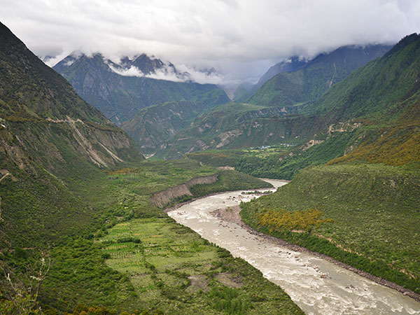
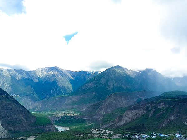
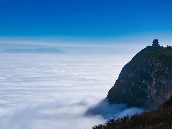
The Yarlung Tsangpo Grand Canyon is a vast river-and-mountain system around the great bend near Namcha Barwa, not a single trail that ordinary visitors traverse end to end. Published length and depth figures depend on where researchers define the canyon boundaries and how relief is measured, so the travel value should not rest on one unsupported world-record sentence. Public visits normally focus on managed viewpoints and villages in the Nyingchi–Mainling area, where river bends, forested slopes and high peaks can be understood without implying access to the canyon's most remote interior. Foreign visitors must confirm current Tibet travel arrangements, route permissions and scenic operations through authorized channels, and should build in acclimatization and weather flexibility. Continue with the Nyingchi destination guide when this landscape fits the wider route.
Understanding the Canyon's Scale
Yarlung Zangbo Grand Canyon is Traveler fit matters more than a superlative at Understanding the Canyon's Scale. The travel decision is more useful when based on accessible viewpoints, time and elevation than on a record number. Large vertical relief creates strong environmental transitions over short horizontal distances. Do not compare figures from different canyons unless their definitions are compatible. A visit around Understanding the Canyon's Scale should use a specifically named public viewpoint or village circuit from Nyingchi, not imply an expedition through the canyon interior. Recheck Tibet arrangements, weather, road controls and construction notices, and distinguish current official project information from claims about future visitor access.
Ecology Across a Steep Elevation Gradient
A practical visit to Ecology Across a Steep Elevation Gradient depends on realistic sequencing. Remain on managed routes and use local interpretation for plants, wildlife and community landscapes. Rain, temperature and altitude vary strongly between Nyingchi valleys and high viewpoints. Keep enough margin for weather, transfers and a change of plan. A visit around Ecology Across a Steep Elevation Gradient should use a specifically named public viewpoint or village circuit from Nyingchi, not imply an expedition through the canyon interior. Recheck Tibet arrangements, weather, road controls and construction notices, and distinguish current official project information from claims about future visitor access. Continue planning with the famous canyons in China.
For responsible landscape travel at Ecology Across a Steep Elevation Gradient, use the established visitor route and understand what the place represents. The Yarlung Tsangpo region spans dramatic elevation and climate gradients, supporting forests, river habitats and alpine environments within a globally significant biodiversity area. Never promise wildlife sightings, feed animals or repeat large species counts without a traceable scientific source. Visitors can learn more from vegetation change and protected-area interpretation than from unverified species totals. A visit around Ecology Across a Steep Elevation Gradient should use a specifically named public viewpoint or village circuit from Nyingchi, not imply an expedition through the canyon interior. Recheck Tibet arrangements, weather, road controls and construction notices, and distinguish current official project information from claims about future visitor access.
Current Infrastructure and Access Context
China officially announced construction of the lower Yarlung Tsangpo hydropower project in July 2025, describing five cascade stations and a tunnel-diversion approach. This is changing infrastructure context, not a visitor attraction, and it replaces the old page's speculative single-dam design and output claims. This distinction is central to choosing Current Infrastructure and Access Context within a wider Yarlung Tsangpo Grand Canyon itinerary. Do not publish permanent claims about completion, impacts, generating capacity or visitor access without a current official source. A visit around Current Infrastructure and Access Context should use a specifically named public viewpoint or village circuit from Nyingchi, not imply an expedition through the canyon interior. Recheck Tibet arrangements, weather, road controls and construction notices, and distinguish current official project information from claims about future visitor access. Continue planning with the Tibet tour routes.
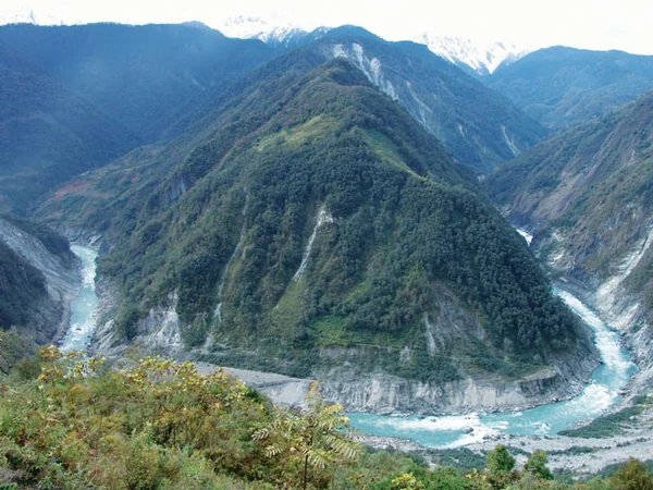
Route planning for Current Infrastructure and Access Context should begin with purpose and travel time. Travelers should confirm scenic roads, photography rules and permitted stops through current authorized arrangements. This is changing infrastructure context, not a visitor attraction, and it replaces the old page's speculative single-dam design and output claims. Do not publish permanent claims about completion, impacts, generating capacity or visitor access without a current official source. A visit around Current Infrastructure and Access Context should use a specifically named public viewpoint or village circuit from Nyingchi, not imply an expedition through the canyon interior. Recheck Tibet arrangements, weather, road controls and construction notices, and distinguish current official project information from claims about future visitor access.